The subproject MORPHO is led by Prof. Dr. Michael Becht and PD Dr. Florian Haas at the KU Eichstätt-Ingolstadt. Moritz Altmann MSc, Jakob Rom MSc and Fabian Fleischer MSc are working on the research questions as research assistants and are completing their PhD theses as part of this project.
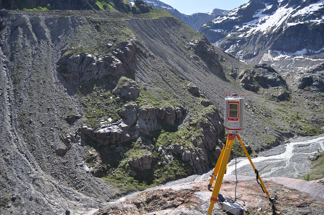
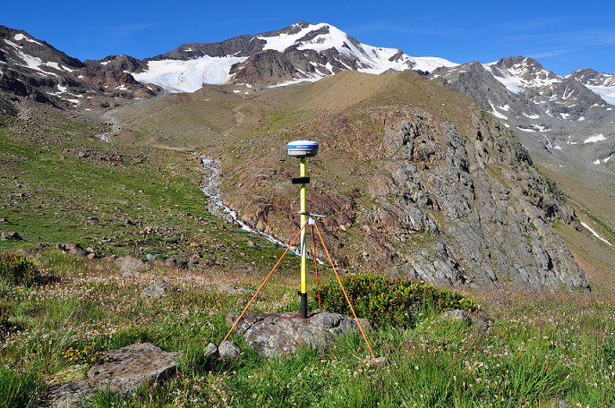
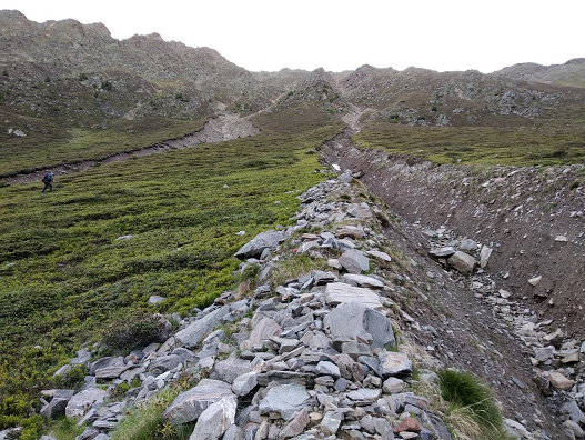
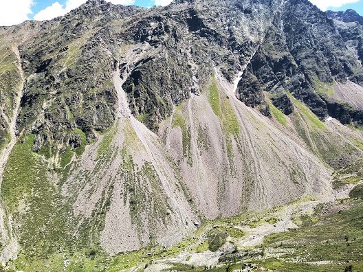
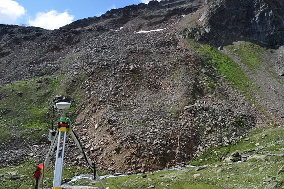
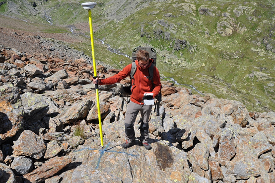
The subproject is investigating the spatial and temporal changes in near-surface geomorphological slope processes since 1850 in high alpine geosystems. The researchers are mainly working in unconsolidated areas, such as steep lateral moraines and scree slopes. The hypothesis of the working group is that climate change affects the activity and interrelationships of geomorphological processes on these slopes and the entire study area and that these changes can be divided into three time slices (1850 – 1920 – 1980 – today). Thus, the aim is to draw conclusions of the effects of climate change on the geomorphological process dynamics. In order to reconstruct the earth’s surface and its dynamics from the different time slices, historical aerial photographs are processed into terrain models and terrestrial photographs are evaluated using monoplotting tools, as described in the PHOTO subproject. In addition, the current dynamics are recorded with the help of terrestrial and airborne laser scanning (TLS/ALS) and the recording and processing of aerial photographs (UAV). Here, spatially and temporally high-resolution data on large-scale mass movements (debris flows, rockfalls, fluvial slope erosion, rock glaciers and ground avalanches) are collected in order to subsequently gain a better understanding of the processes, sediment transport and morphodynamics in the high alpine geosystems. The aim of this working group is also to integrate the observed changes and reconstructions with the results of the other subprojects and to identify possible interrelationships. For example, increasing extreme weather events can enhance sediment transport, while a rise in the vegetation line may also weaken it again.
The first results show a highly active morphodynamic on the lateral moraines of the Gepatschferner (Kaunertal), but with a decreasing trend in activity between 1970 and 2019. This matches the precipitation behaviour in the same period. Although the annual precipitation totals in the upper Kaunertal tend to increase, the frequency of short and intensive precipitation events decreases (Altmann et al. 2020). The changed activity of the rock glaciers in Kaunertal can also be attributed to climate parameters. Here, an accelerated flow velocity has been observed since 1997, which coincides with the higher measured temperatures due to climate change. With the help of several aerial photo data sets since 1947, 817 debris flows could be detected and mapped in the Horlachtal. These data show a period of increased debris flow activity between 1953 and 1974, and especially between 1990 and 2010. Although debris flow events can sometimes occur very locally, the precipitation data (available since 1990) show a correlation between debris flow events and the frequency and intensity of heavy rainfall events.