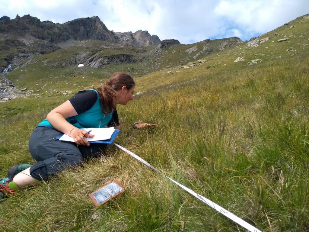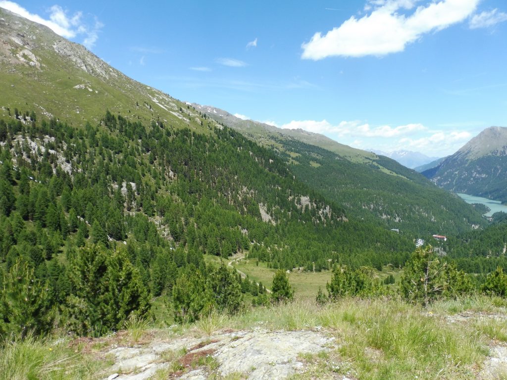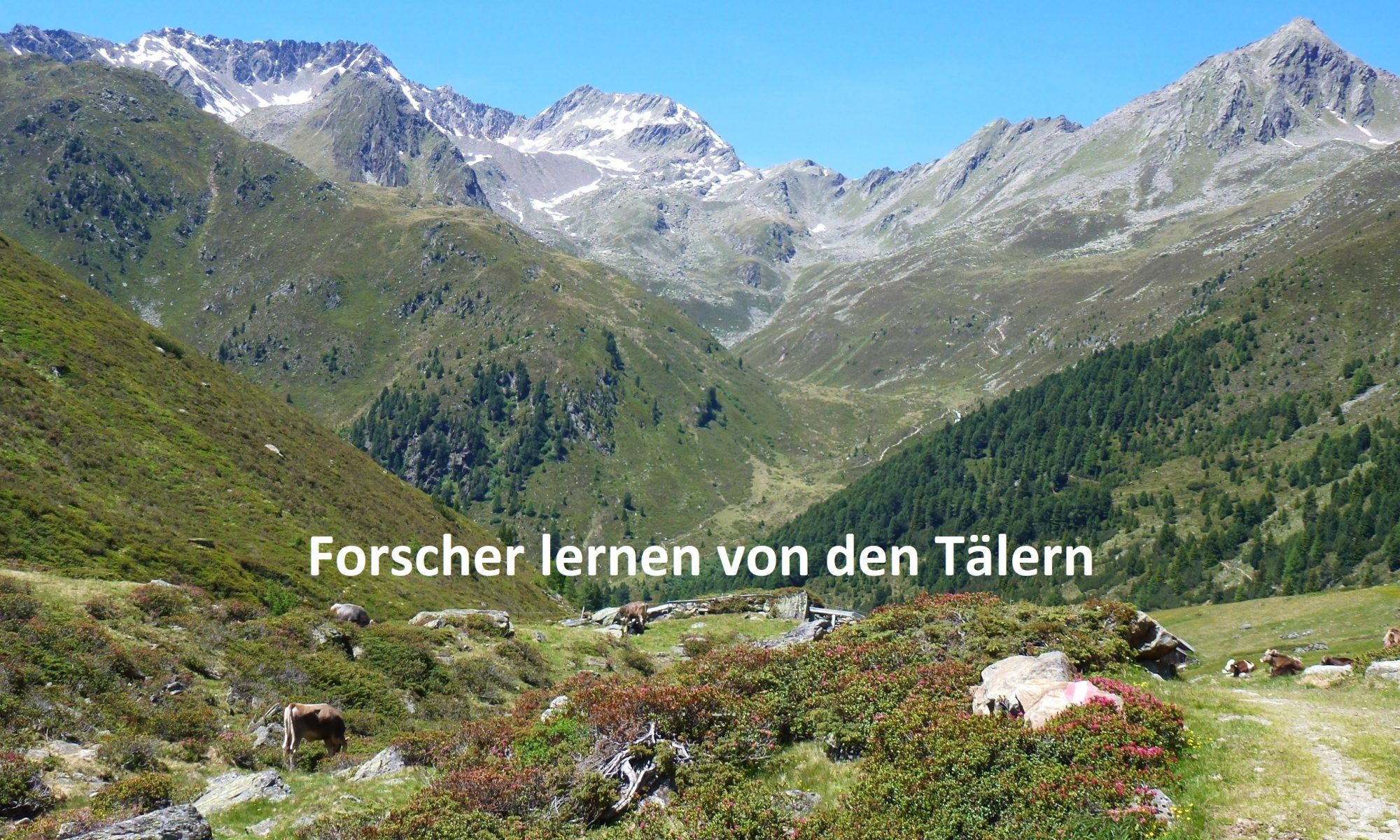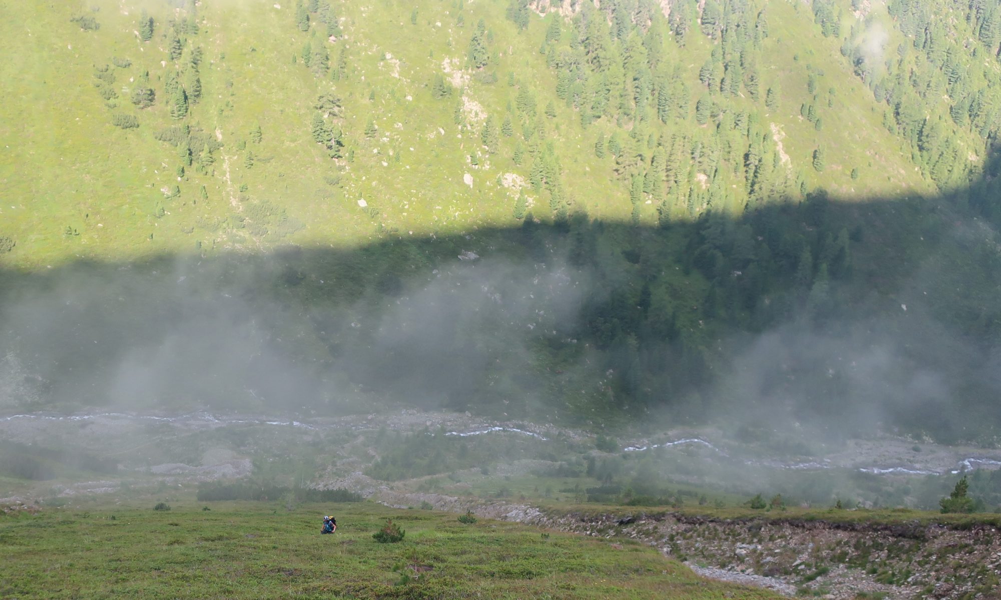
In outer and inner Grastal (Horlach Valley, Tyrol), vegetation analyses were carried out in summer 2020 on undisturbed and by debris flows (different years) disturbed plots in the starting and accumulation zone. Debris flows were mapped by Jakob Rom.
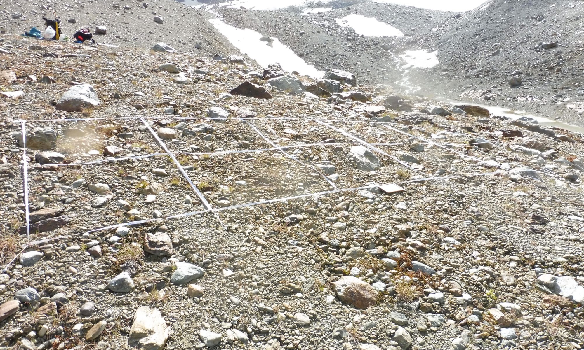
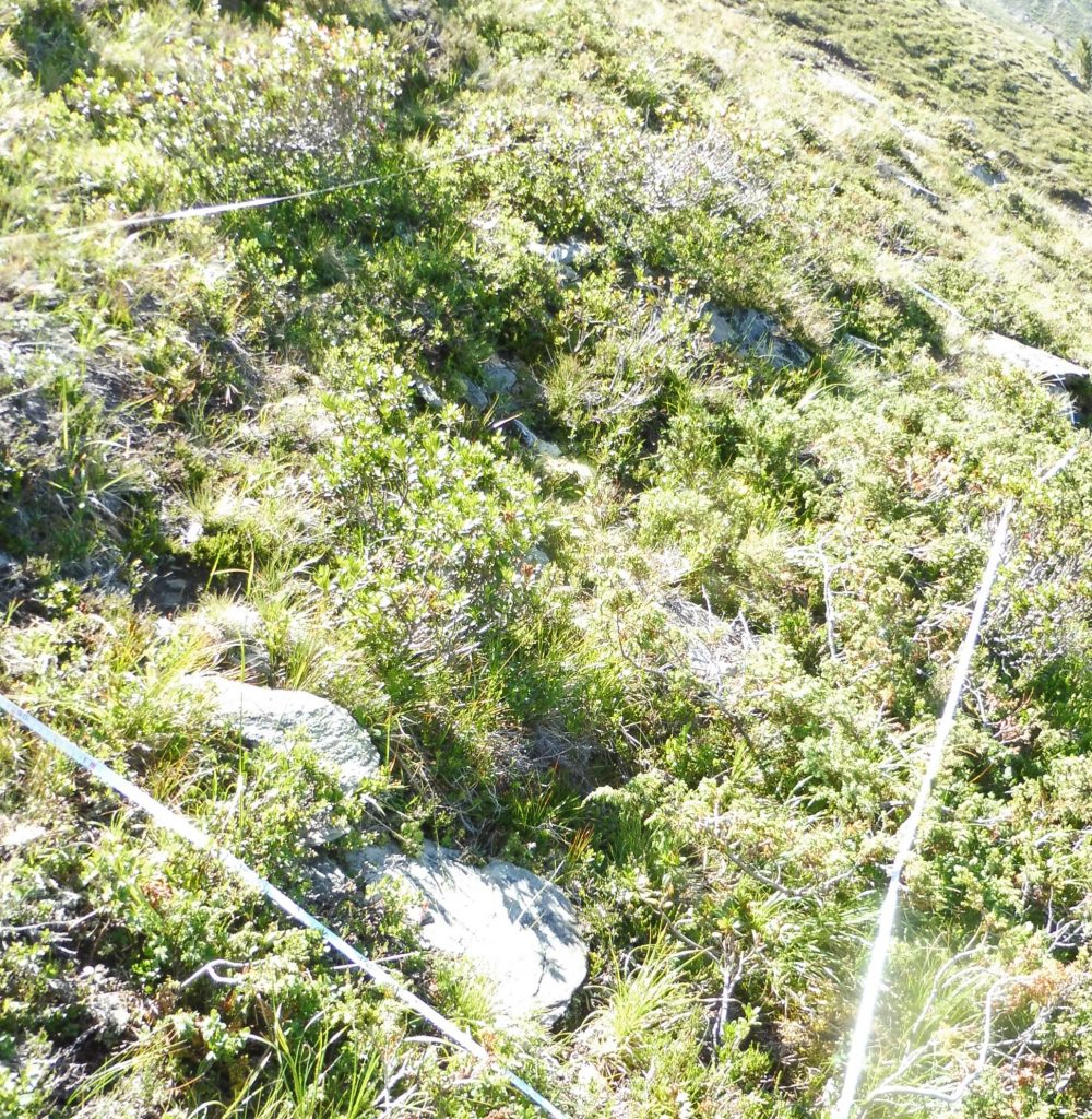
A) 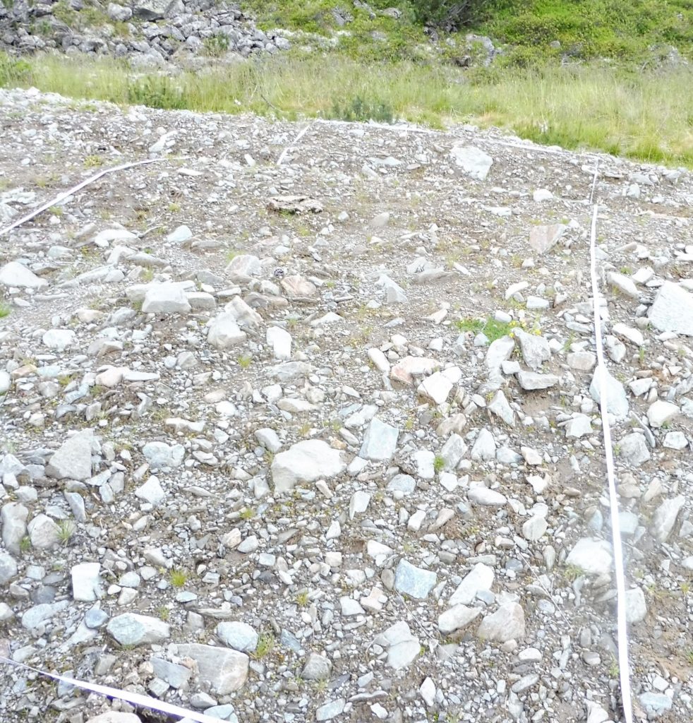
B)
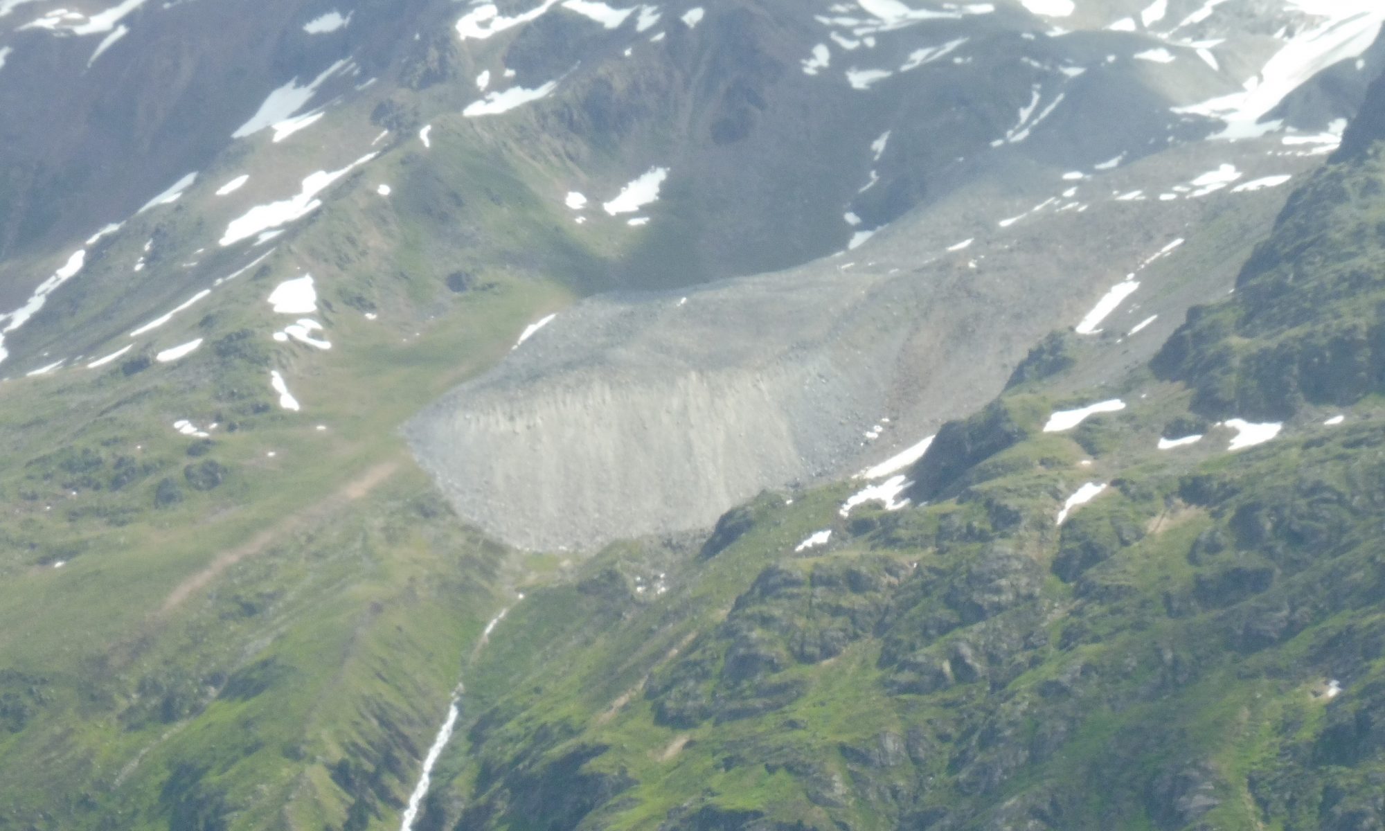
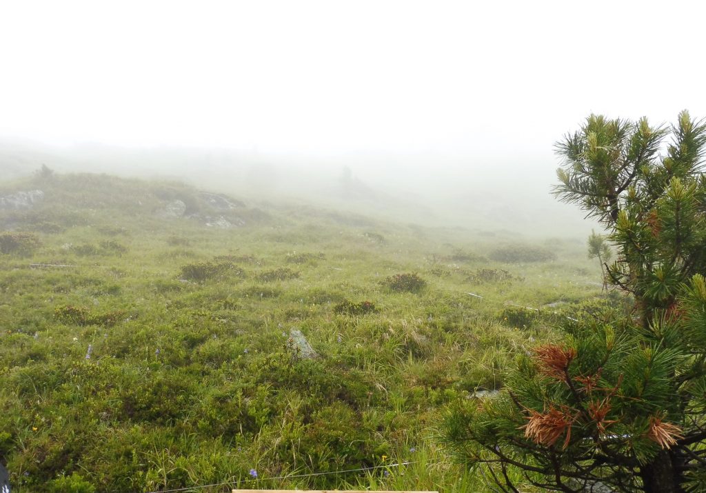
Fig. 1: A) undisturbed and B) disturbed plot at the accumulation zone outer Grastal. Photos: Katharina Ramskogler.
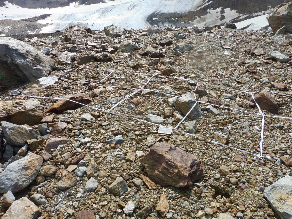
A) 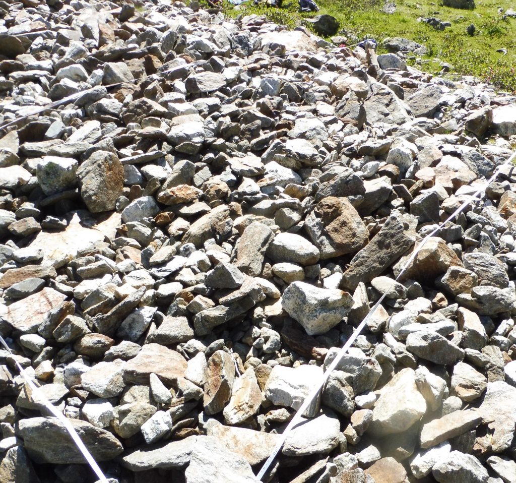
B)
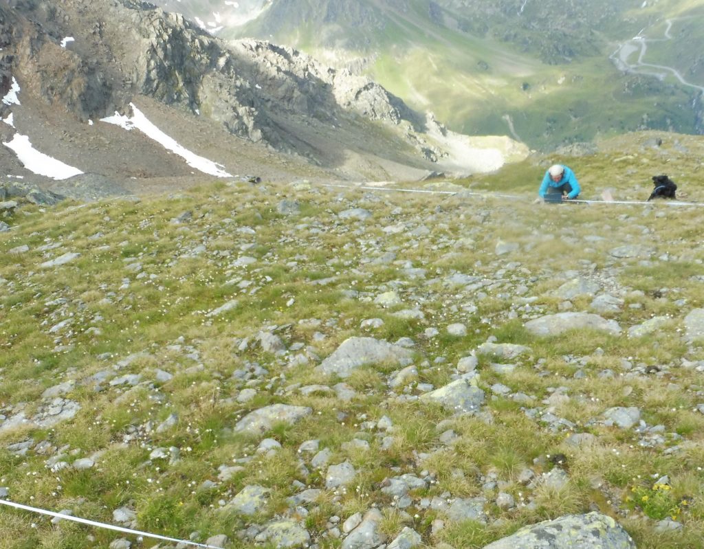
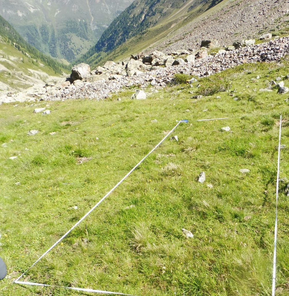
Fig. 2: A) undisturbed and B) disturbed plot at the accumulation zone inner Grastal. Photos: Katharina Ramskogler.
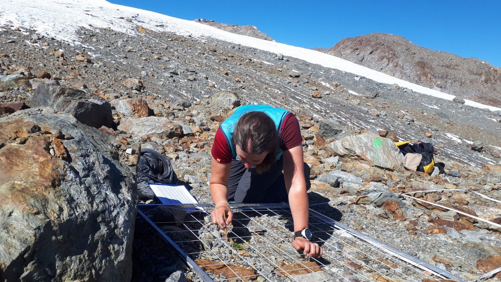
A) 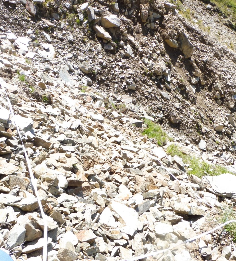
B)
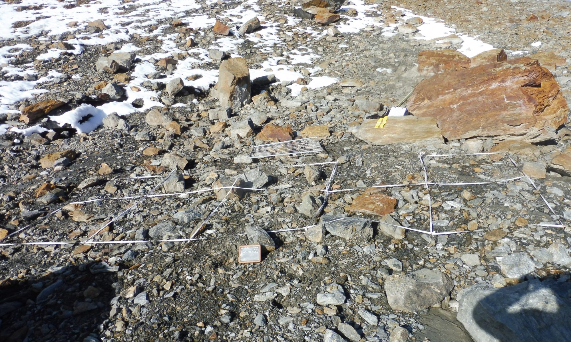
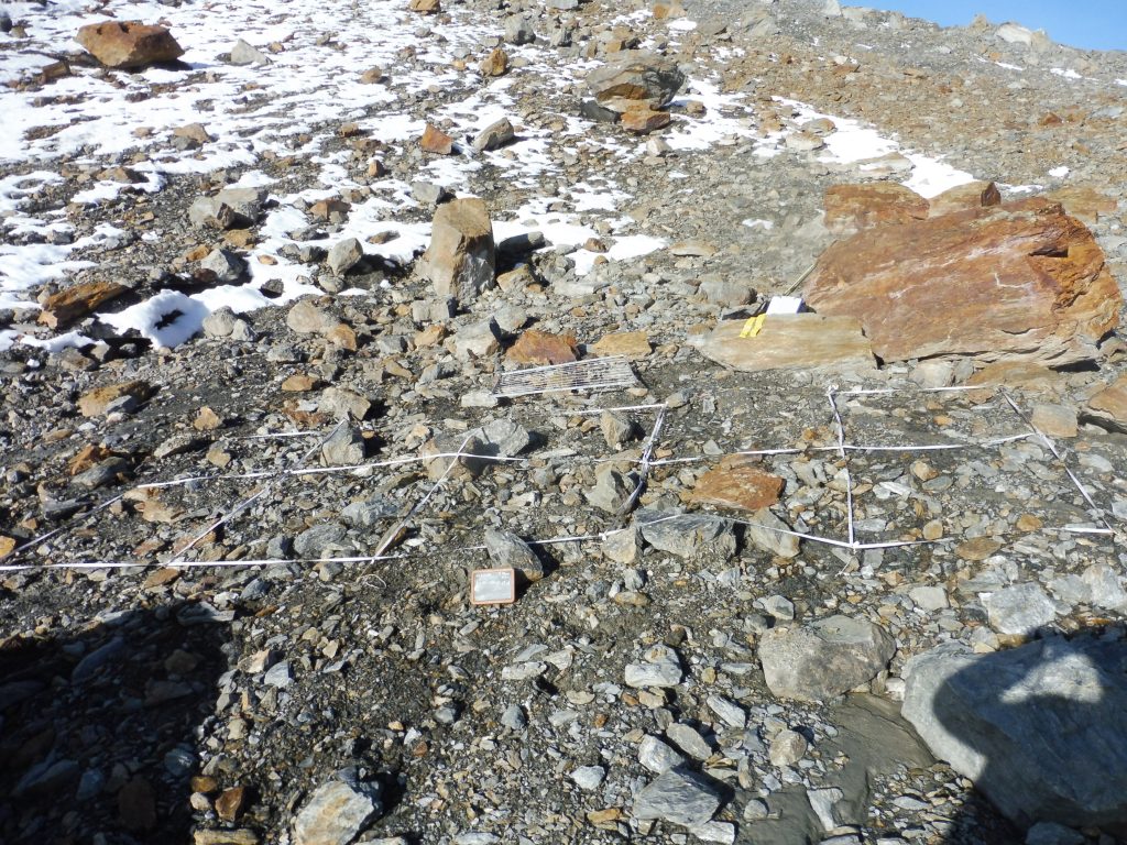
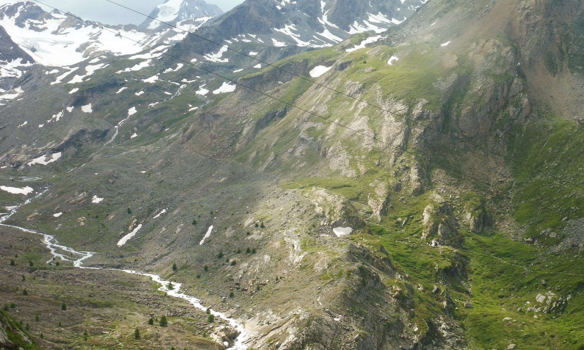
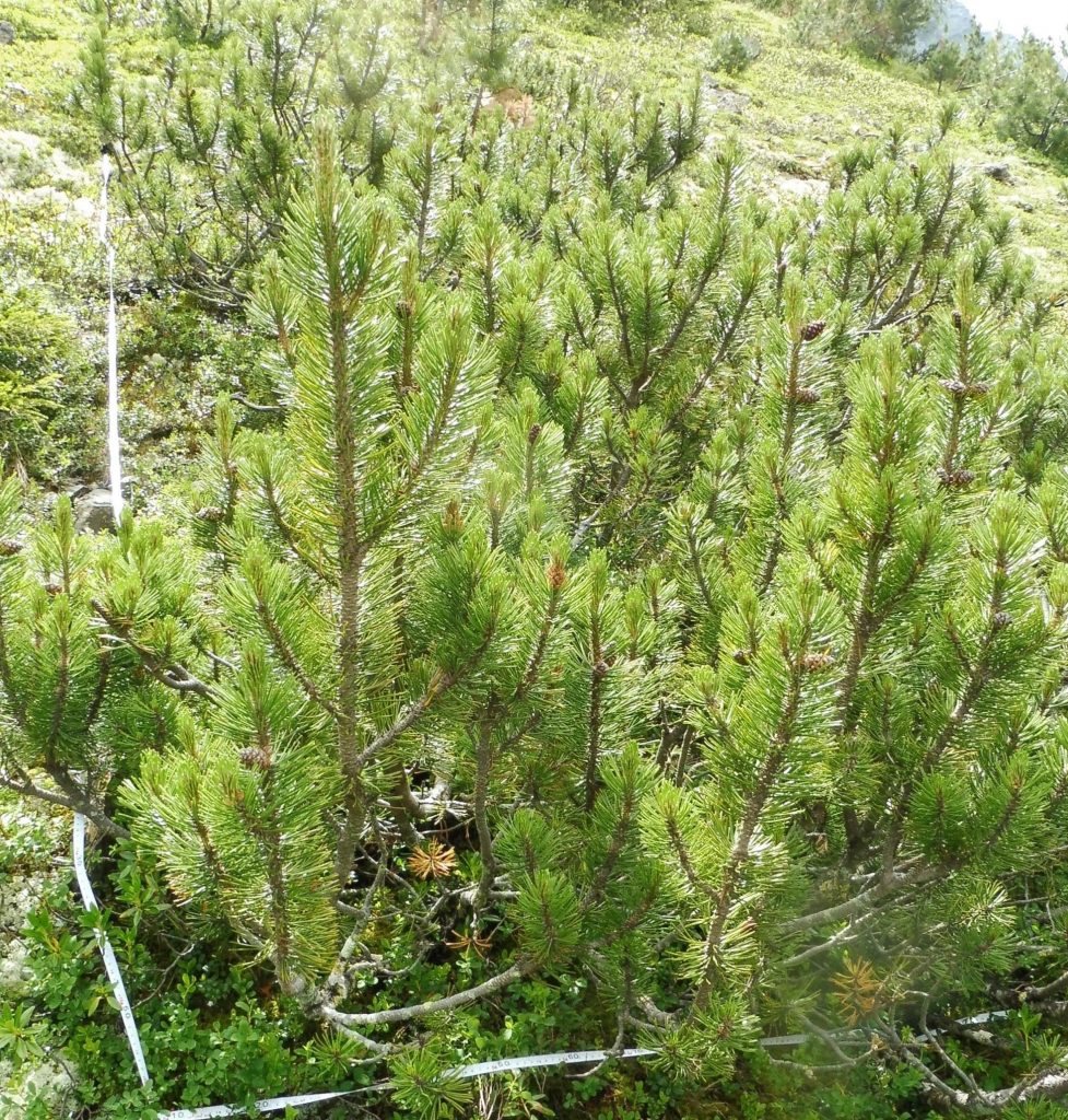
Fig. 3: A) undisturbed and B) disturbed plot at the starting zone outer Grastal. Photos: Katharina Ramskogler.
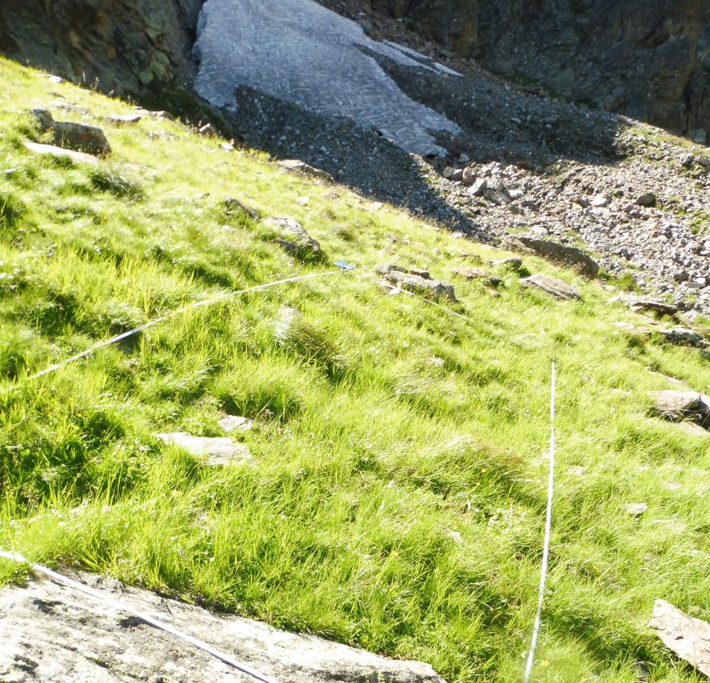
A) 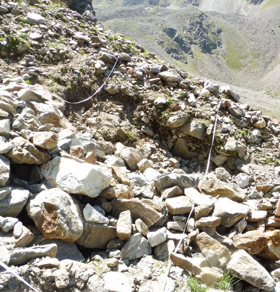
B)
Fig. 4: A) undisturbed and B) disturbed plot at the starting zone inner Grastal. Photos: Katharina Ramskogler.