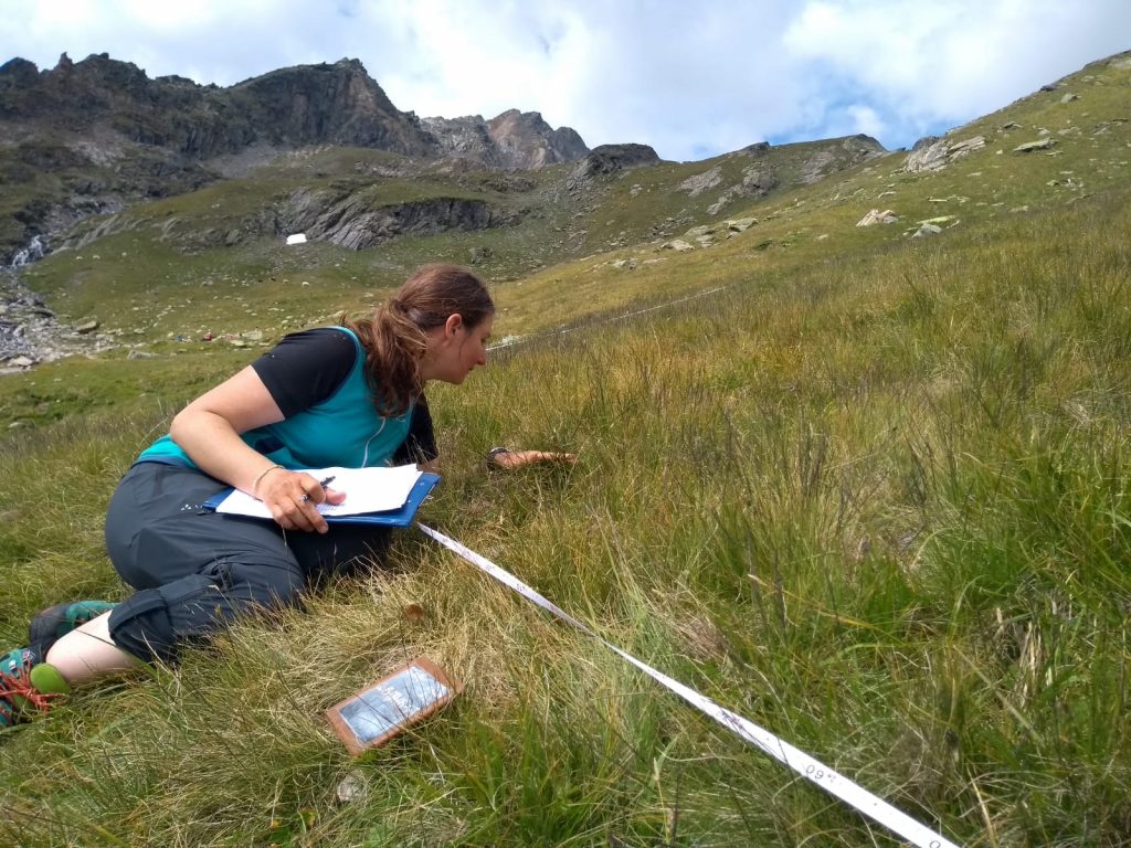
Vegetation surveys were carried out along an elevation gradient from the treeline (2170 m above sea level) to the subnival belt (2745 m a.s.l.) of Langental, (inner Martell Valley)). Along the sampled plots, soil temperature measurements were performed in 10 cm soil depth.