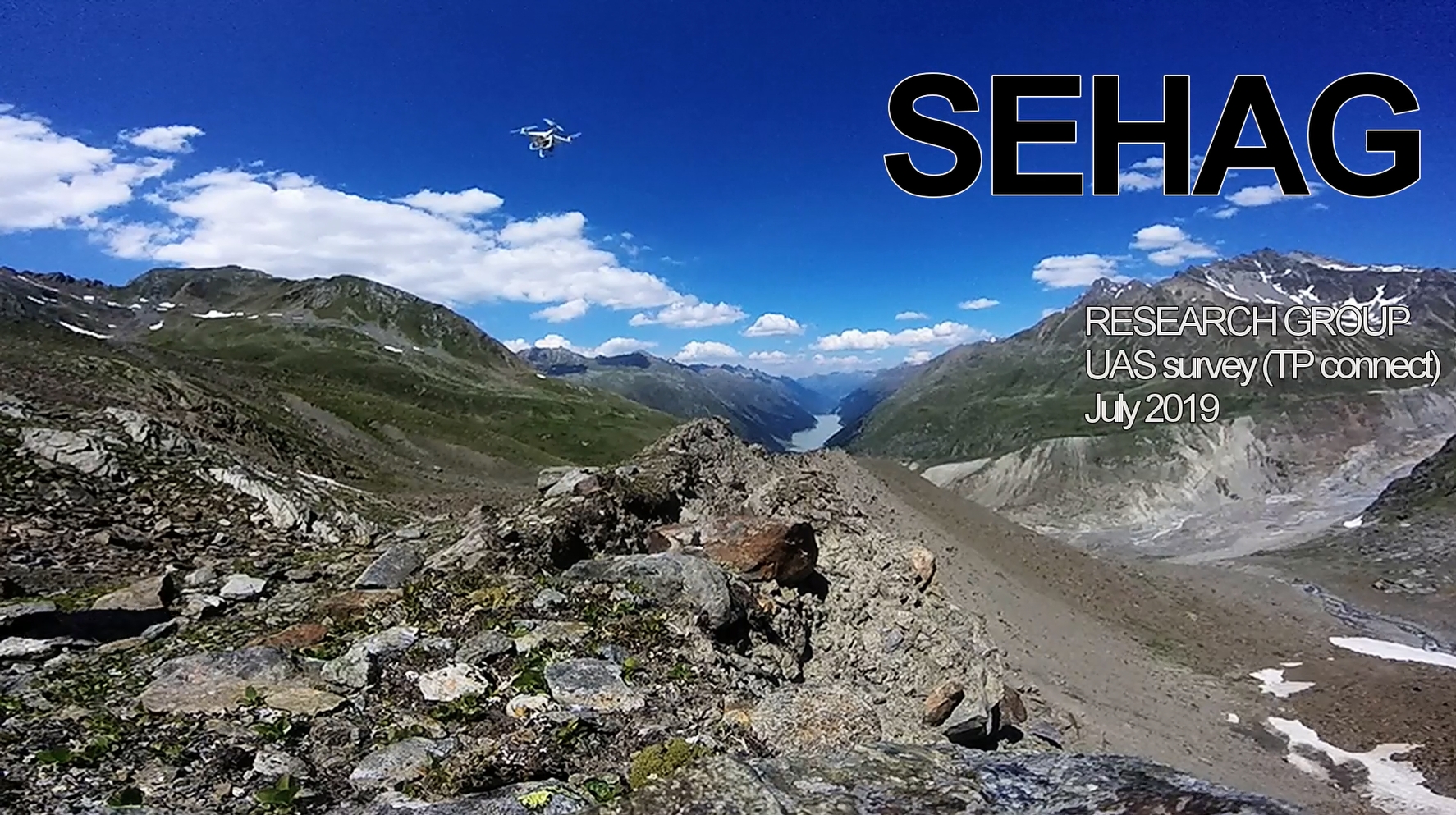
Join a SEHAG team from Eichstätt on their way through the Kaunertal. The target was a lateral moraine, from which a UAV flight was started. The images are used to create orthophotos (for mapping the river channels, for example) and digital elevation models (for measuring changes since the last survey). Manuel Stark and Livia Piermattei carried out the UAV survey together. They produced this video for us:

Start einer Drohnenbefliegung, Juli 2019. Photo/Video: Manuel Stark

