Dokumentation mit Felix Neureuther jetzt auch auf Youtube

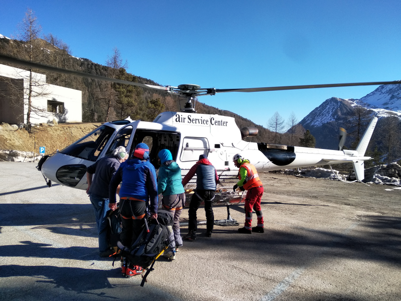
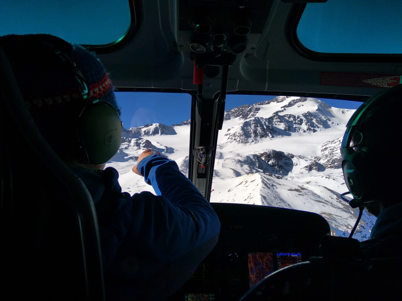
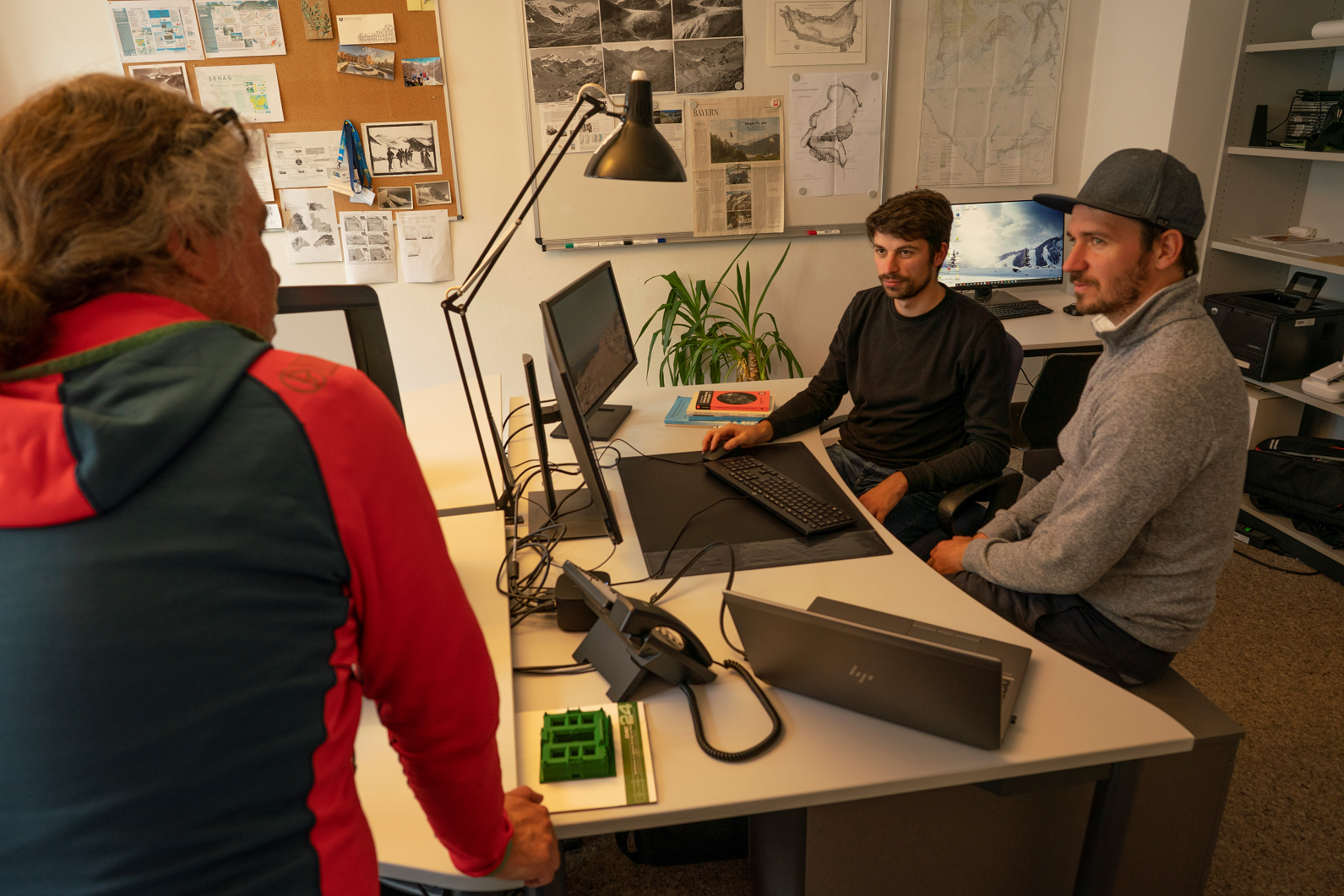
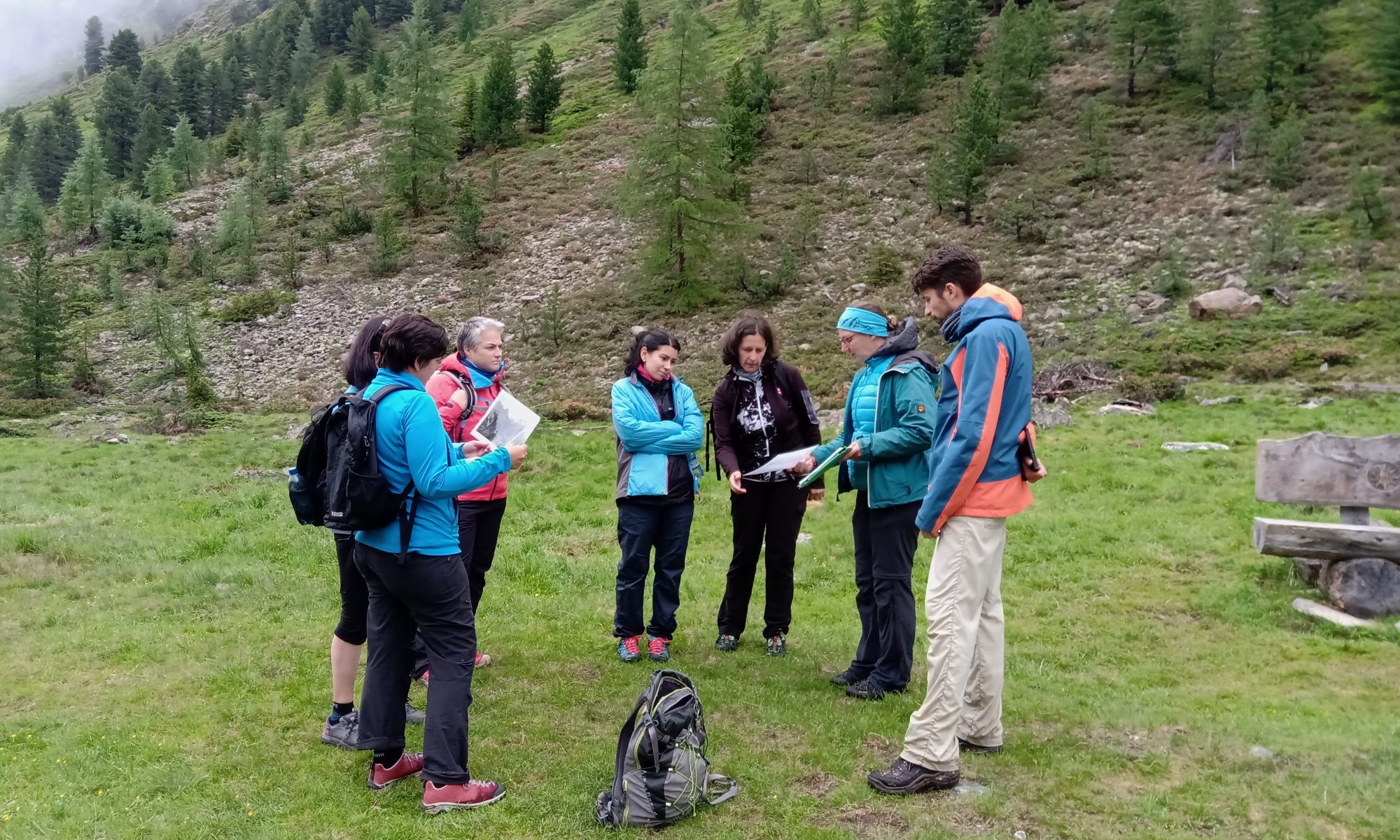
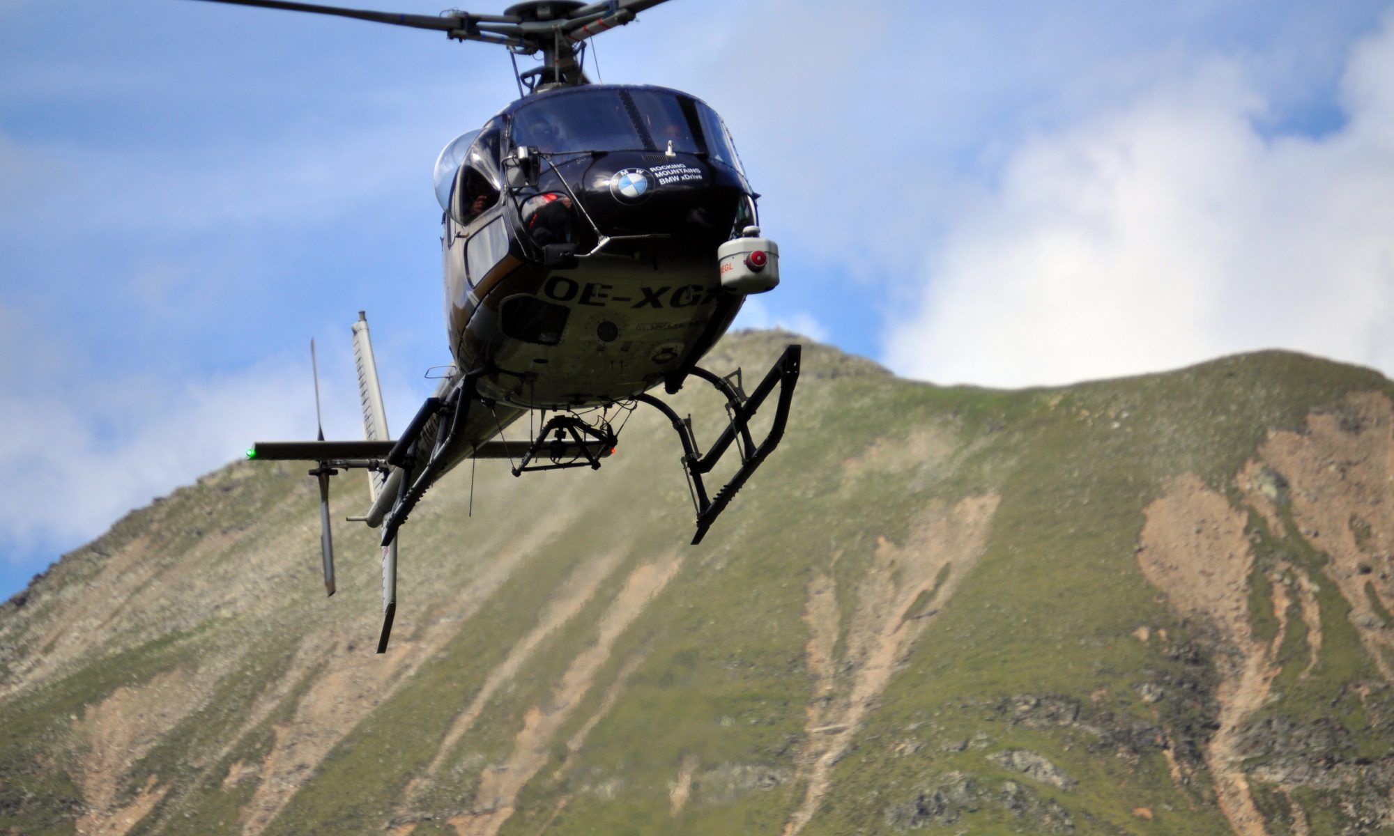
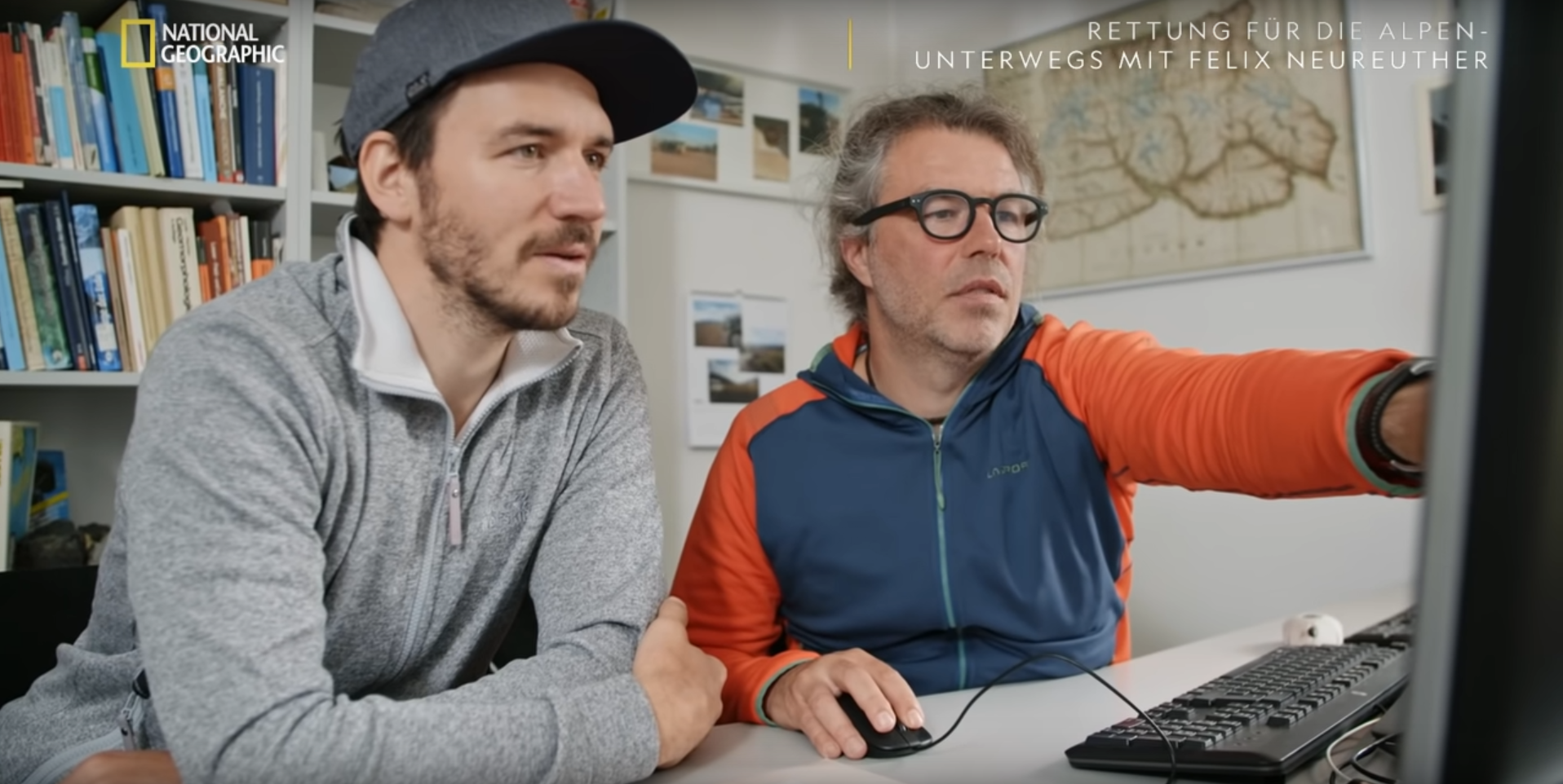
Nachdem die TV-Dokumentation „Rettung für die Alpen – Unterwegs mit Felix Neureuther“ seit ihrer Premiere im September 2021 auf National Geographic zu sehen war, ist sie nun auch in Auszügen auf dem Youtube-Kanal von National Geographic Deutschland zu sehen. Im Zuge der Dreharbeiten kam Felix Neureuther auch an die KU Eichstätt-Ingolstadt, um von PD Dr. Florian Haas mehr über die SEHAG Forschungsgruppe zu erfahren.

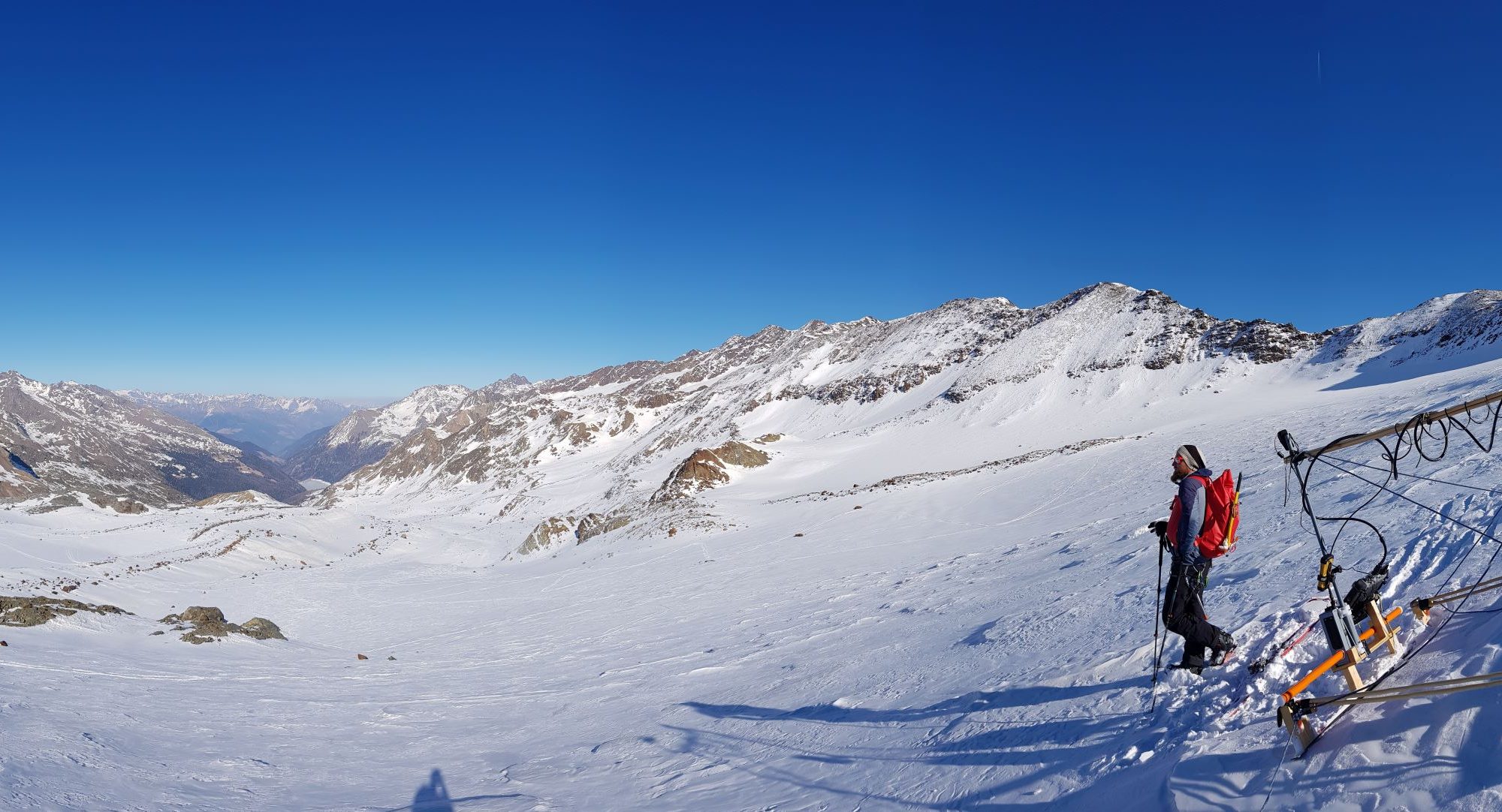
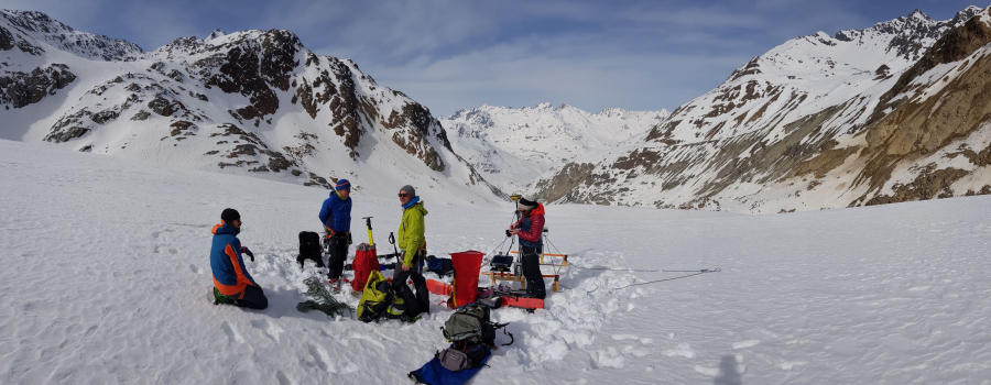
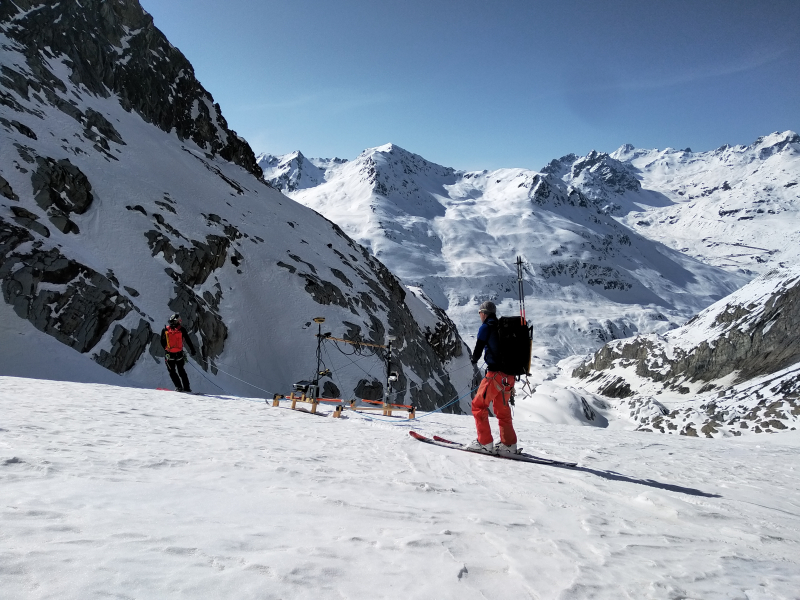
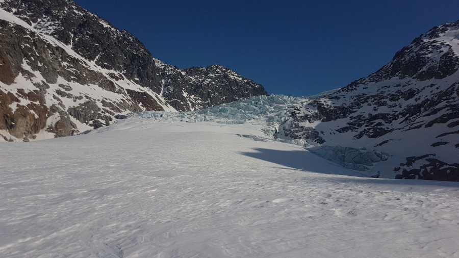
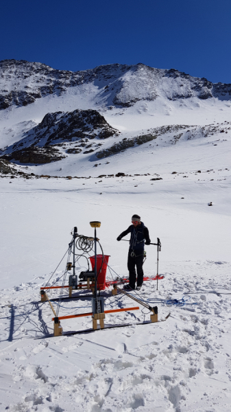
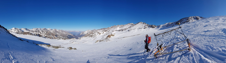
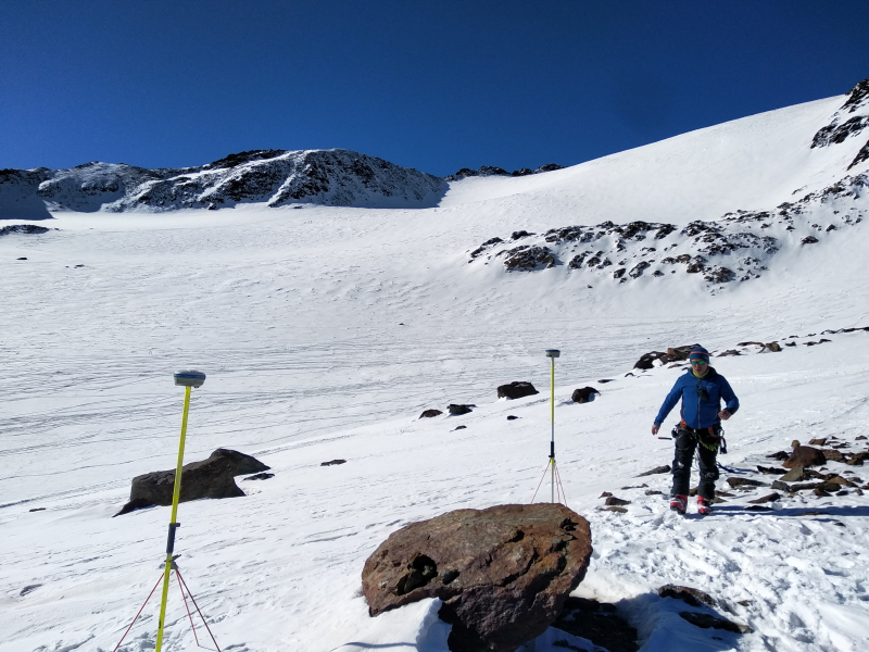
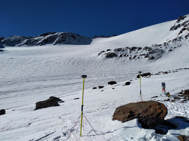
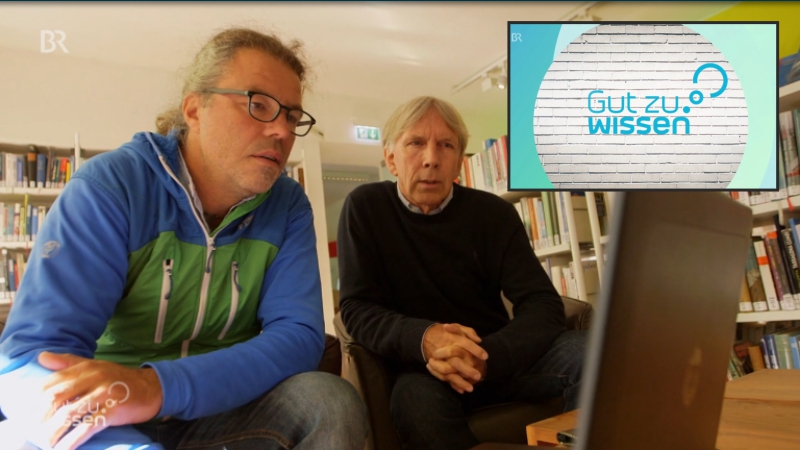
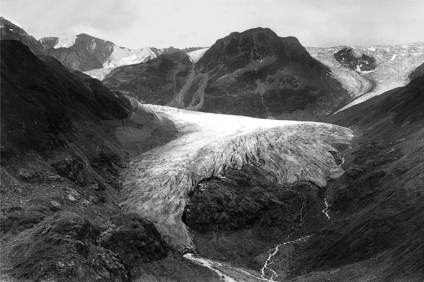
Im folgenden Ausschnitt aus der Dokumentation erklärt Haas, wie in SEHAG historische Daten wie Karten und Photographien seit der Mitte des 19. Jahrhunderts in Verbindung mit modernen und hochgenauen Messungen wie Laserscans verwendet werden, um die Veränderungen der hochalpinen Geosysteme aufzuzeigen. Im Anschluss veranschaulichen Florian Haas und Jakob Rom mithilfe des vom Teilprojekt PHOTO entwickelten Monoplotting-Tool die Gletscherschmelze seit Beginn des 20. Jahrhunderts am Beispiel des Gepatschferner im Kaunertal:

Quelle: Youtube-Kanal „National Geographic Deutschland“

How will the high Alpine landscape change due to glacier retreat by 2050?

In March, field work was carried out on the Weisssee-, Gepatsch-, Zufall- and Fürkele-glaciers in the Kaunertal and Martelltal valleys as part of the research project SEHAG. The aim was to record the topography under the glaciers in order to obtain a picture of the future mountain landscape today. Scientists from the KU Eichstätt-Ingolstadt, the Institute for Interdisciplinary Mountain Research of the Austrian Academy of Sciences (ÖAW, Kay Helfricht and Martin Stocker-Waldhuber) and the Institute for Alpine Environment at Eurac Research jointly carried out georadar measurements and terrestrial laser scans on site. The people and material involved were brought to the measurement site by helicopter due to the remote location and the heavy weight. The area was surveyed that is expected to be ice-free by 2050. The data help the scientists to model the processes that will take place in the future and to make better forecasts.

Wie verändert sich die Hochgebirgslandschaft durch die Gletscherschmelze bis 2050?

Im März fanden im Rahmen des Forschungsprojektes SEHAG Geländearbeiten am Weisssee-, Gepatsch-, Zufall- und Fürkeleferner im Kaunertal und Martelltal statt. Ziel war es die Topographie unter den Gletschern zu erfassen, um bereits heute ein Bild der zukünftigen Gebirgslandschaft zu erhalten. Wissenschaftler/-innen der KU Eichstätt-Ingolstadt, dem Institut für interdisziplinäre Gebirgsforschung der der Österreichischen Akademie der Wissenschaften (ÖAW, Kay Helfricht und Martin Stocker-Waldhuber) und vom Institut für Alpine Umwelt an Eurac Research führten dafür gemeinsam Georadar-Messungen und terrestrische Laserscan-Aufnahmen vor Ort durch. Die beteiligten Personen und das Material wurden auf Grund der abgelegenen Lage und des großen Gewichtes per Helikopter an den Messstandort geflogen. Es wurde der Bereich vermessen, der bis 2050 vermutlich eisfrei sein wird. Die Daten helfen den Wissenschaftler/-innen die in Zukunft stattfindenden Prozesse zu modellieren und bessere Prognosen erstellen zu können.


Saving the Alps: Now on National Geographic

Since the TV premiere on 20.09.2021, the documentary “ Rettung für die Alpen – Unterwegs mit Felix Neureuther“ can be seen on the channels of National Geographic. In conversation with many experts, climate change in the Alpine region is illuminated and the consequences it has for the geosystems in the high mountains are shown. As part of the filming, Felix Neureuther was also a guest at the Catholic University of Eichstätt-Ingolstadt. Florian Haas and his team presented the research activities of the SEHAG research group and showed how changes in the high alpine geosystems can be derived from historical maps and historical photographs.

An excerpt from the documentary, in which Felix Neureuther is a guest in Eichstätt, can be viewed HERE on the Youtube channel of National Geographic Germany (video is in German).

Rettung für die Alpen: Jetzt auf National Geographic

Seit der TV Premiere am 20.09.2021 ist die Dokumentation „Rettung für die Alpen – Unterwegs mit Felix Neureuther“ auf den Kanälen von National Geographic zu sehen. Im Gespräch mit vielen Expertinnen und Experten wird der Klimawandel im Alpenraum beleuchtet und aufgezeigt, welche Folgen er für die Naturräume im Hochgebirge hat. Im Rahmen der Dreharbeiten war Felix Neureuther auch an der Katholischen Universität Eichstätt-Ingolstadt zu Gast. Florian Haas und sein Team stellten dabei die Forschungsaktivitäten der SEHAG Forschungsgruppe vor und zeigten, wie sich anhand historischer Karten und Photographien Veränderungen in den hochalpinen Geosystemen Ableiten lassen.

Ein Ausschnitt aus der Dokumentation, in dem Felix Neureuther zu Gast in Eichstätt ist, kann HIER auf dem Youtube-Kanal von National Geographic Deutschland angesehen werden.

SEHAG meets Ötztal Tourism Association

On June 30th, 2021, six employees of the Ötztal Tourism Association visited the Grastal (Horlach valley). On site, they met with two members of the SEHAG research project: Katharina Ramskogler (Universität Innsbruck) and Jakob Rom (KU Eichstätt-Ingolstadt). They explained the key points of the research project to the interested employees of the Tourism Association. With the help of illustrative material and the environmental features of the Grastal, they referred to ongoing research work and preliminary results. The subsequent discussion about the significant changes in the mountains in the course of climate change was very informative for all participants.

We are looking forward to continuing the cooperation with the Ötztal Tourism Association!

SEHAG meets Tourismusverband Ötztal

Am 30. Juni 2021 besuchten sechs Mitarbeiterinnen des Tourismusverbandes Ötztal das Grastal (Horlachtal). Vor Ort trafen trafen sie sich mit zwei MitarbeiterInnen des Forschungsprojektes SEHAG: Katharina Ramskogler (Universität Innsbruck) und Jakob Rom (KU Eichstätt-Ingolstadt). Diese konnten den interessierten Fachkräften des Tourismusverbandes die zentralen Punkte des Forschungsprojektes aufzeigen. Anhand von Anschauungsmaterial und den naturräumlichen Gegebenheiten des Grastales konnte auf laufende Forschungsarbeiten und erste Ergebnisse verwiesen werden. Die anschließende angeregte Diskussion über die spürbaren Veränderungen der Hochgebirge im Zuge des Klimawandels war für alle Beteiligten sehr aufschlussreich.

Wir freuen uns über die weitere gute Zusammenarbeit mit den Tourismusverband Ötztal!

SEHAG in Newspaper and Television

Newspaper articles and Television broadcasts about the SEHAG project have been published already. Here you can find a list with links to some of them. The language used in the articles is German.

  • Tiroler Tageszeitung

An article about the SEHAG project was published in the Tiroler Tageszeitung (Tyrolean newspaper) on June 2nd, 2020. Readers are invited to provide photos from private archives to the researchers. Click here to see the article (German).

  • Bayerischer Rundfunk

On November 9th, 2019, a report about the SEHAG research project was broadcasted in the Bavarian Television program (Bayerischer Rundfunk). The report demonstrates the aerial laser scans in Martell valley and the archive research activity. Interviews with Prof. Dr. Michael Becht and PD Dr. Florian Haas are shown. Click here to see the report (German).

  • Süddeutsche Zeitung

The South German Newspaper Süddeutsche Zeitung published an article about the SEHAG research project on August 16th, 2019. The data acquisition of airborne laserscans in Horlach valley using a helicopter and a mobile laser scanner of the Institute of Physical Geography of the KU Eichstätt-Ingolstadt is shown. Click here to see the article (German).

Historical and recent photographs show the changes

Historical photogrpahs allow a journey into the past that can provide valuable insights for working on the project’s goals. The first step in analyzing a scanned photograph is orientation; with the help of a digital terrain model, the photographer’s location and line of sight are determined (click here to find out more). Our researcher visit these locations to document the current state of the landscape in order to compare it optimally with the respective historical photograph. The results are impressive…

The following image comparison shows a historical image of the Gepatschferner in Kauertal taken around 1920 (source: M. Frey); Moritz Altmann took a image for comparison in 2019 from the calculated position of the photographer at that time:

[twenty20 img1=“388″ img2=“387″ direction=“vertical“ offset=“0.5″ align=“none“ width=“100%“ before=“Kaunertal: Gepatschferner / Fernergrieß ca. 1920 (Quelle: M. Frey)“ after=“Kaunertal: Gepatschferner / Fernergrieß 2019 (Quelle: M. Altmann)“ hover=“true“]

Additional information: In the same way a Canadian research project documents the transformation of mountain landscapes in the Rocky Mountains: click here!

Helicopter survey in Horlachtal and Martelltal successful

Florian Haas and a team from KU Eichstätt-Ingolstadt successfully conducted a survey of the Horlachtal and Martelltal study areas with our mobile laser scanner mounted at the front of a rented helicopter on August 8/9. The recorded data – photos and hundreds of millions of measuerd points – are now being processed in Eichstätt and at the TU Wien and will probably be available for analysis by the SEHAG project working groups later this year.

The used helicopter with the mounted helicopter takes of in Horlachtal. (Video: M. Altmann 2019)
The helicopter above of the melting glaciers in Martelltal. (Photo: M. Altmann 2019)