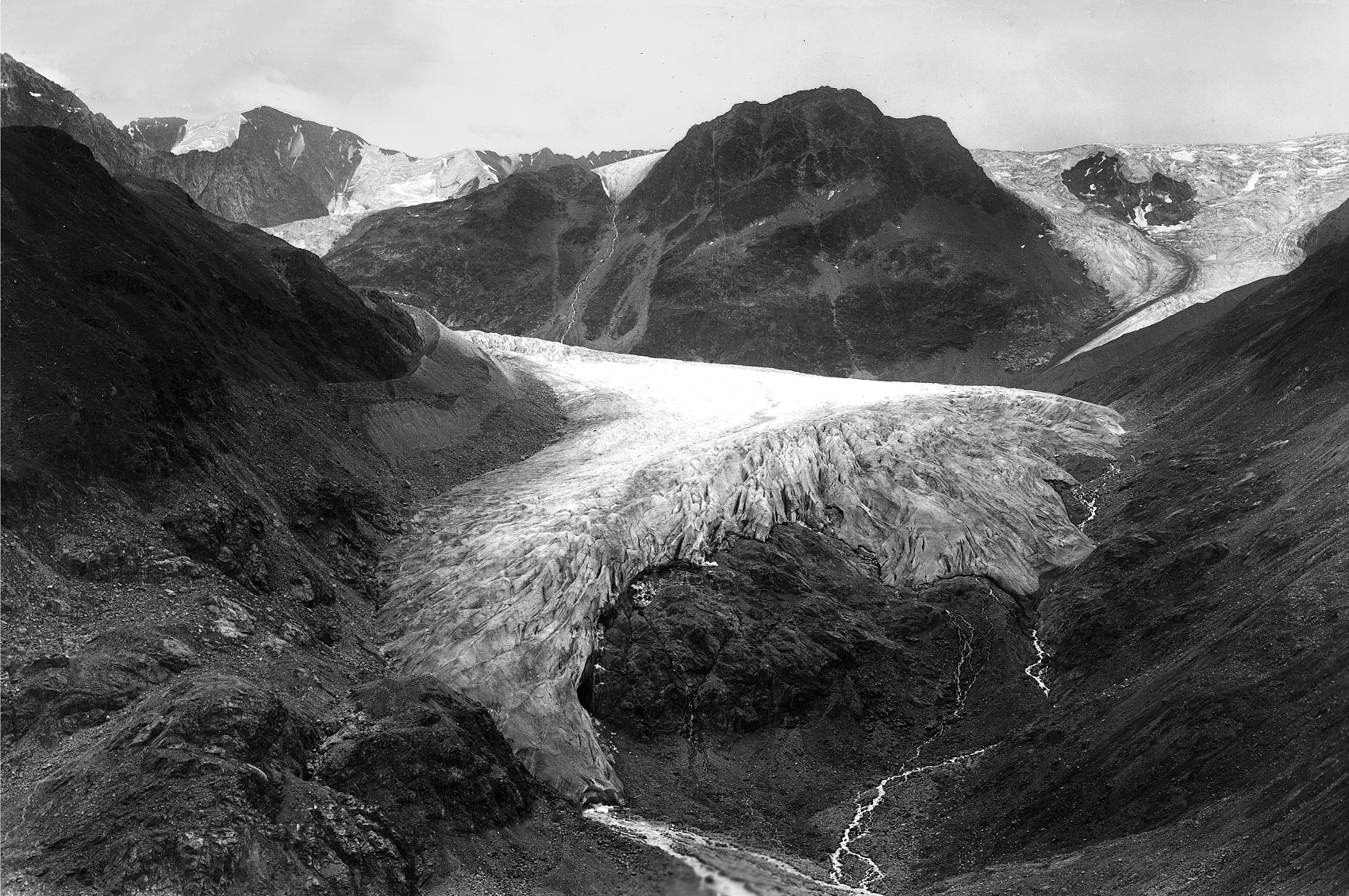
Historical photogrpahs allow a journey into the past that can provide valuable insights for working on the project’s goals. The first step in analyzing a scanned photograph is orientation; with the help of a digital terrain model, the photographer’s location and line of sight are determined (click here to find out more). Our researcher visit these locations to document the current state of the landscape in order to compare it optimally with the respective historical photograph. The results are impressive…
The following image comparison shows a historical image of the Gepatschferner in Kauertal taken around 1920 (source: M. Frey); Moritz Altmann took a image for comparison in 2019 from the calculated position of the photographer at that time:
[twenty20 img1=“388″ img2=“387″ direction=“vertical“ offset=“0.5″ align=“none“ width=“100%“ before=“Kaunertal: Gepatschferner / Fernergrieß ca. 1920 (Quelle: M. Frey)“ after=“Kaunertal: Gepatschferner / Fernergrieß 2019 (Quelle: M. Altmann)“ hover=“true“]
Additional information: In the same way a Canadian research project documents the transformation of mountain landscapes in the Rocky Mountains: click here!


