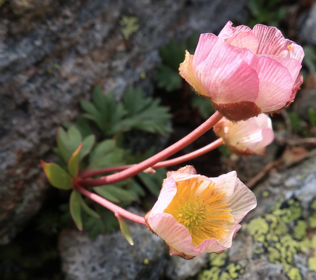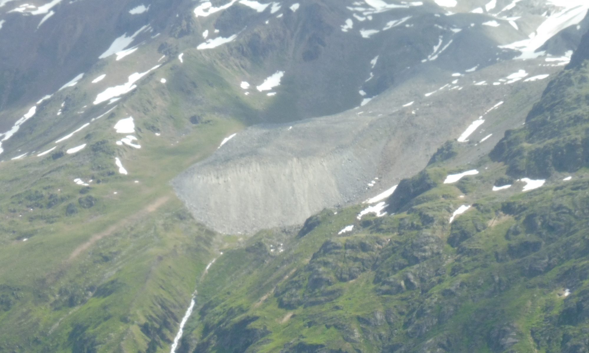
In Kauner Valley, close to the area of the rock glacier Innere Ölgrube, vegetation analyses were carried out in summer 2020 from the treeline (2135 m a.s.l.) to the subnival belt (2730 m a.s.l.). Disturbed and undisturbed plots were compared. Temperature and soil water potential measurements were performed at 10 cm soil depth.
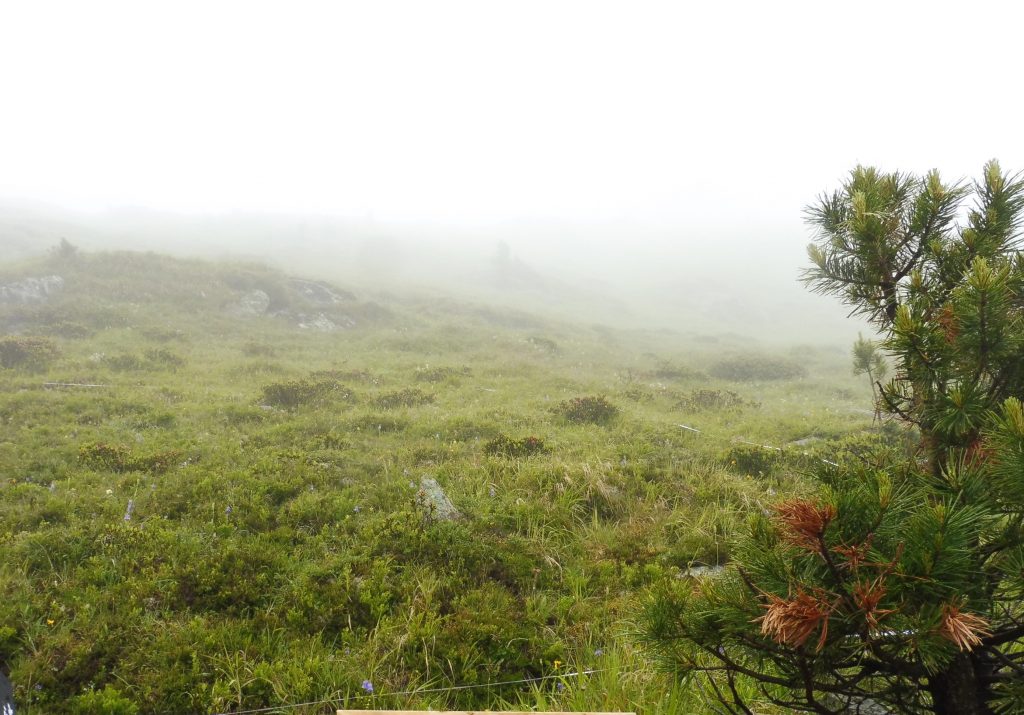
A) 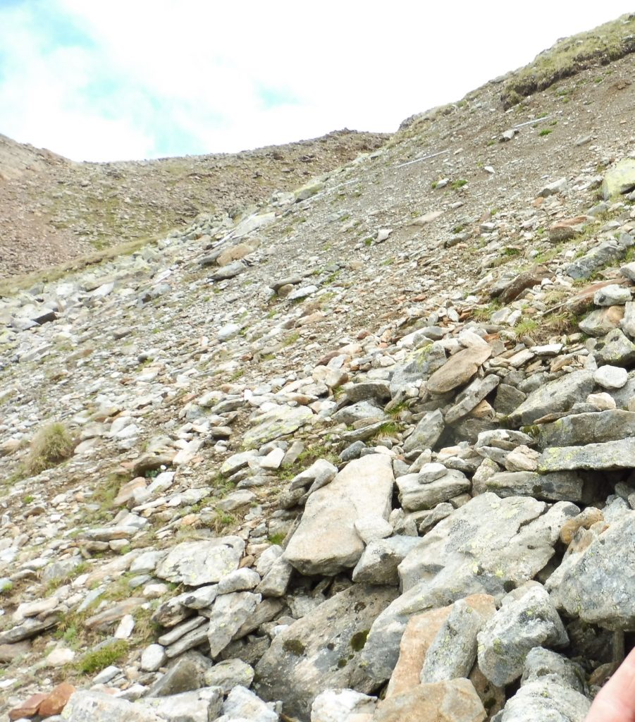
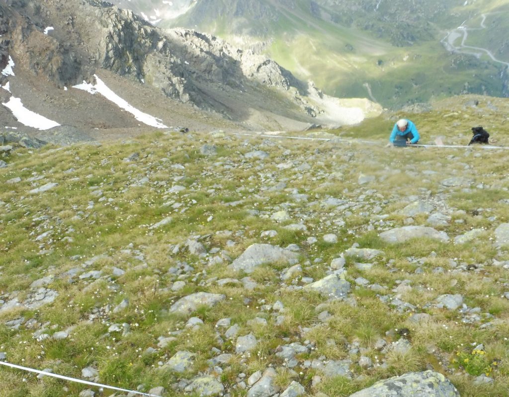
B)
Fig. 2: A) undisturbed and B) morphodynamically disturbed plot at the upper end of the transect Innere Ölgrube. Photos: Katharina Ramskogler.