Airborne Laser Scanning (ALS) is a method of scanning the earth’s surface from the air with a laser beam while recording the reflected signal. From this point cloud, the earth’s surface can be displayed in 3D with a very high degree of accuracy. Using this data, researchers in SEHAG can detect changes in the landscape by comparing these models with older ones. This could be the melting of glaciers, debris flows or vegetation growth. From 22.09.2021 to 24.9.2021, all three valleys of the SEHAG project were flown and recorded. The flight duration amounted to approx. 6-7 hours per valley. The valleys were flown over systematically so that a good data set could be collected for the entire area.
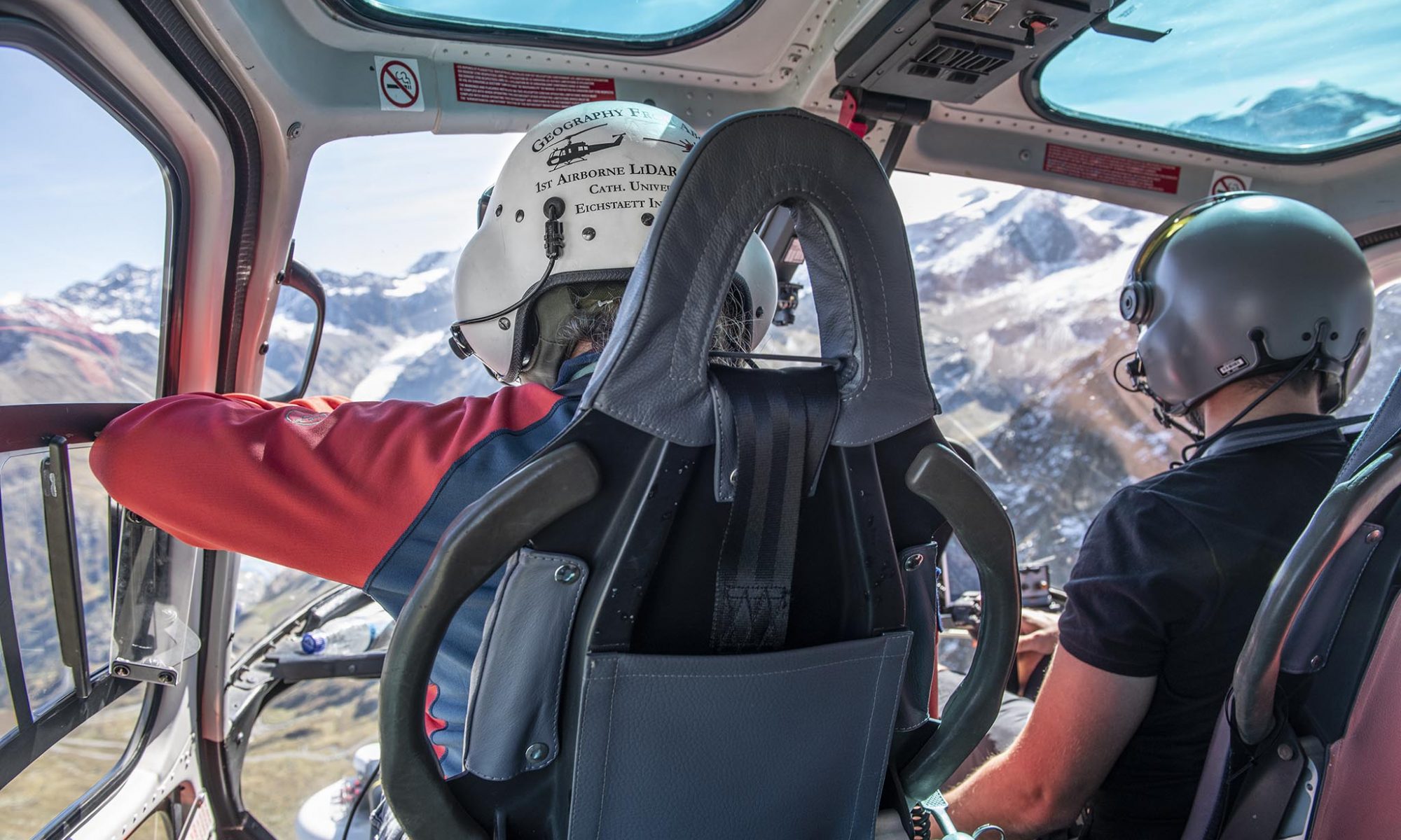
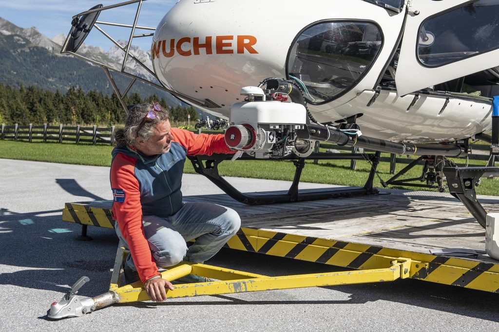
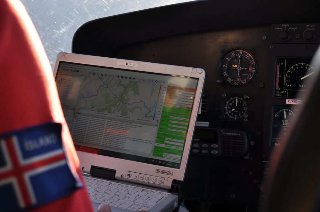
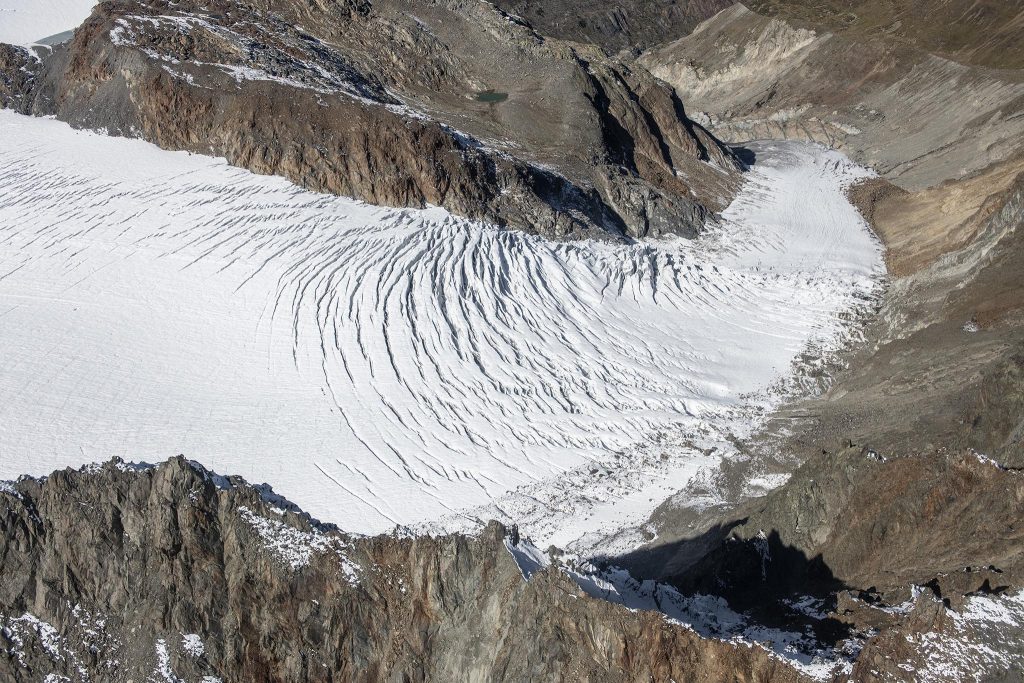
Before the start, all technical equipment, such as the mobile laser scanner, must be checked (Photo Anton Brandl).The data is collected in real time (Photo Anton Brandl).The Gepatschferner in the Kaunertal from the helicopter (Photo Anton Brandl).
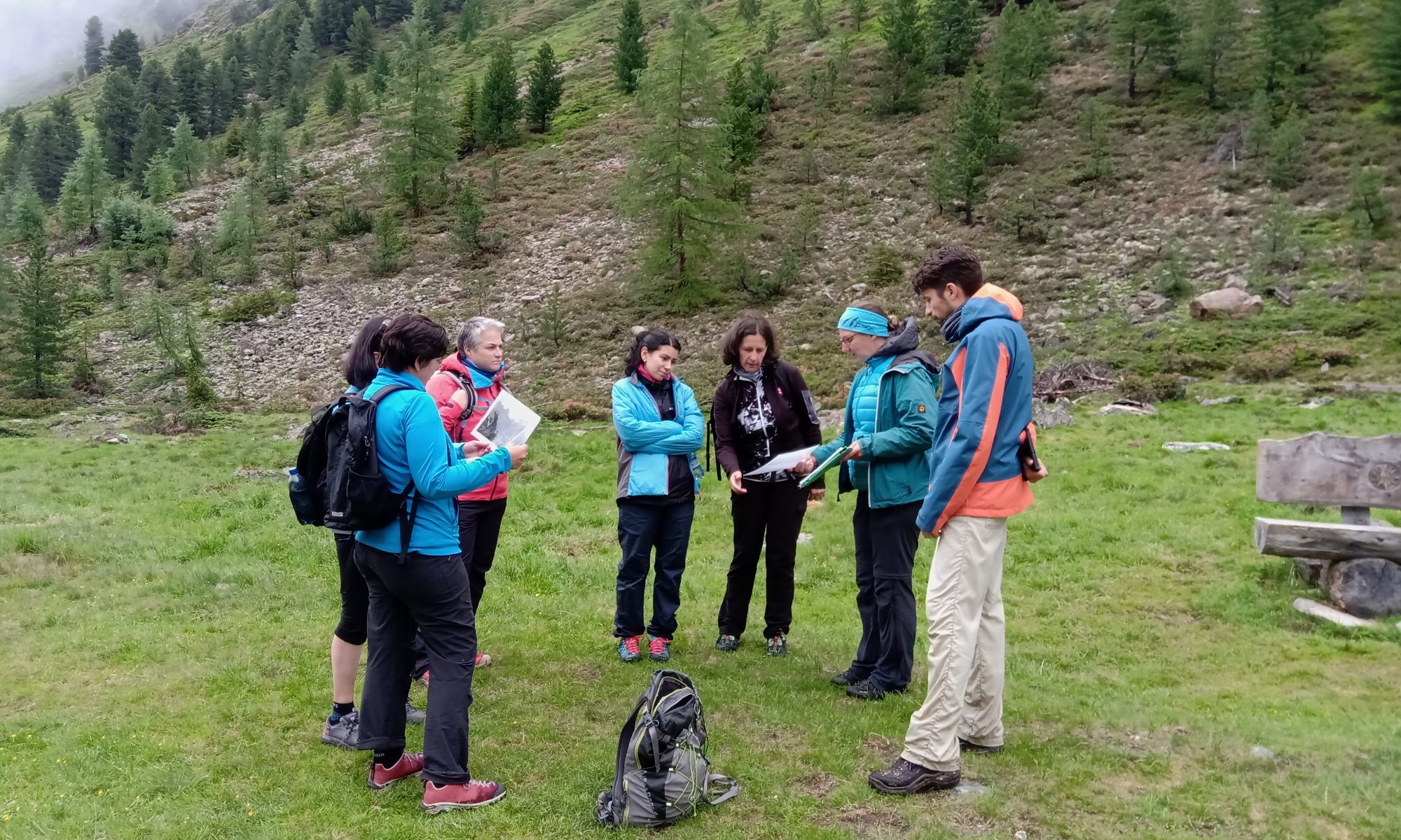
On June 30th, 2021, six employees of the Ötztal Tourism Association visited the Grastal (Horlach valley). On site, they met with two members of the SEHAG research project: Katharina Ramskogler (Universität Innsbruck) and Jakob Rom (KU Eichstätt-Ingolstadt). They explained the key points of the research project to the interested employees of the Tourism Association. With the help of illustrative material and the environmental features of the Grastal, they referred to ongoing research work and preliminary results. The subsequent discussion about the significant changes in the mountains in the course of climate change was very informative for all participants.
We are looking forward to continuing the cooperation with the Ötztal Tourism Association!
At the Landesgartenschau 2020, which has been postponed to 2021, visitors will have the opportunity to meet us scientists of the research project SEHAG and to ask us questions directly. On 13.08.2021 we will be at the KU pavilion between 2 and 5 pm. In addition to theoretical informations and research results, we will also show you the use of our measuring instruments which we use in the field. These include, for example, UAS (drones), laser scanners and dGPS instruments.
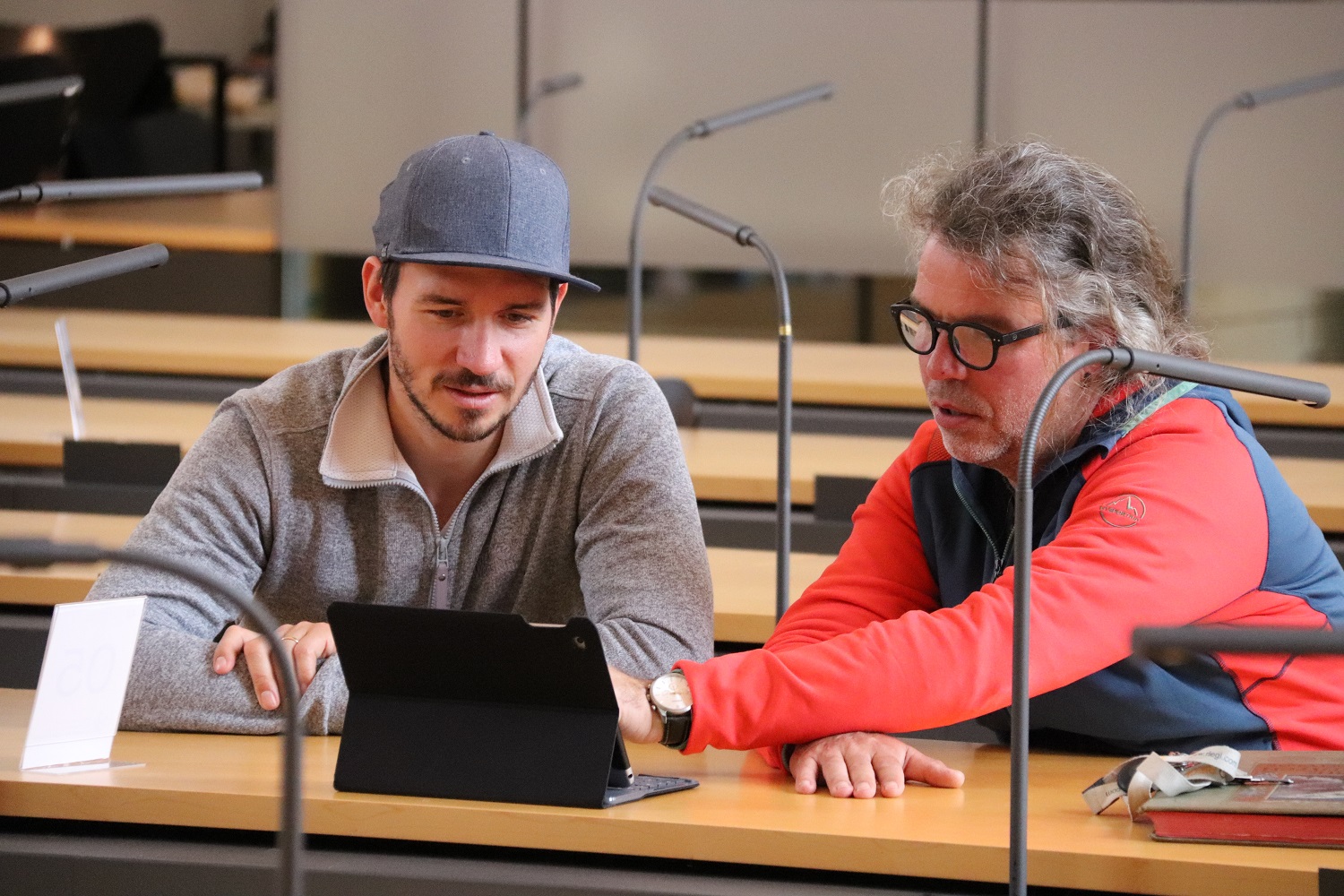
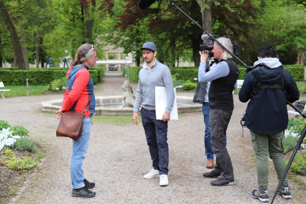
During the filming of a National Geographic TV documentary about Felix Neureuther and his interest in alpine landscape changes, there was also a scientific exchange between the SEHAG team and the former ski racer. The main focus was on the scientific use and processing of historical photographs, which were evaluated by the SEHAG project. By comparing these photos with current images from the same position, the changes in the alpine landscapes could be impressively shown. Felix Neureuther’s interest in these current research results is high, as he says this is his second home. In addition, his great-great-grandfather was a glaciologist in the mid-19th century and thus also ensured that the first drawings of alpine landscapes were made.
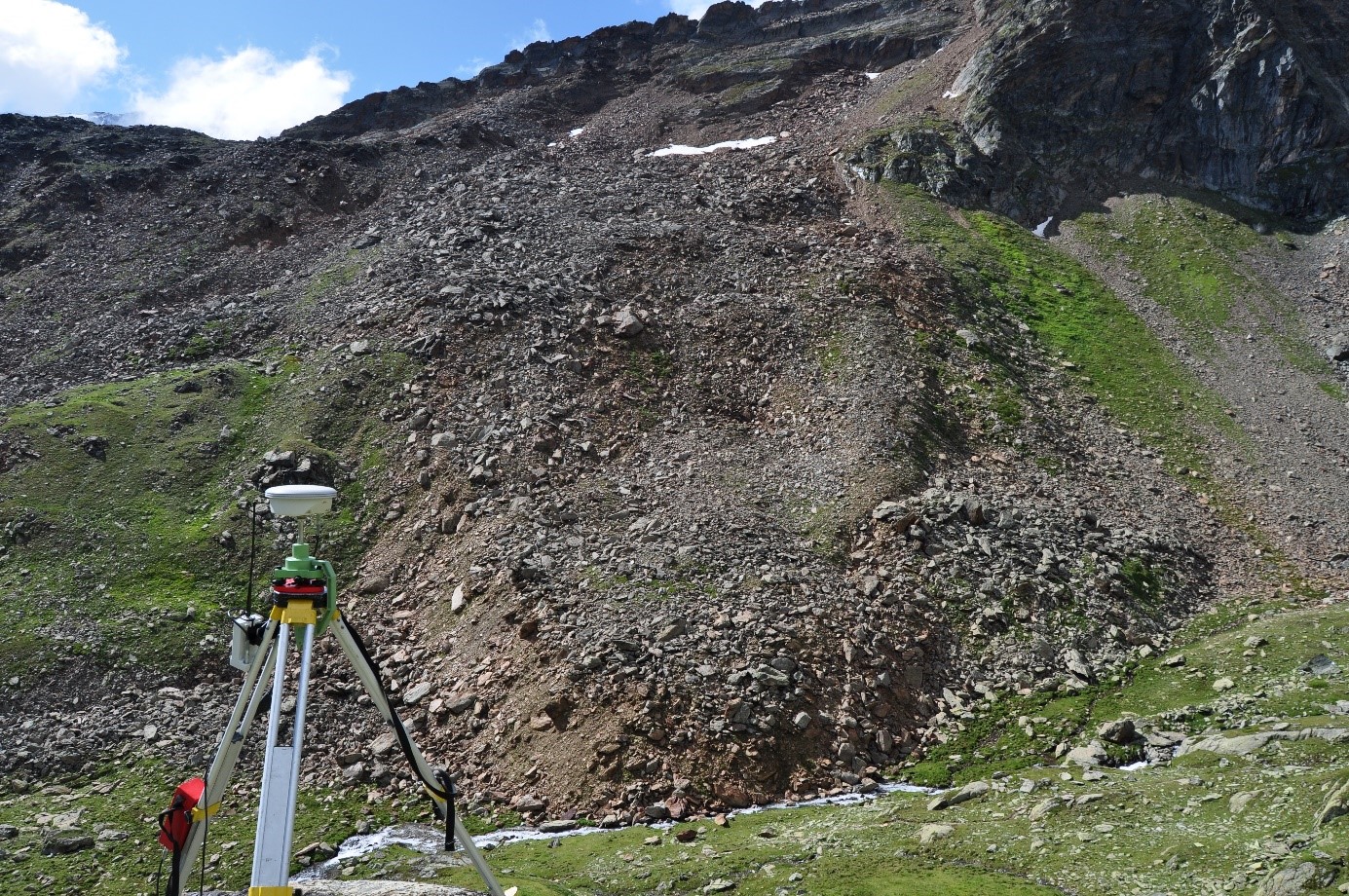
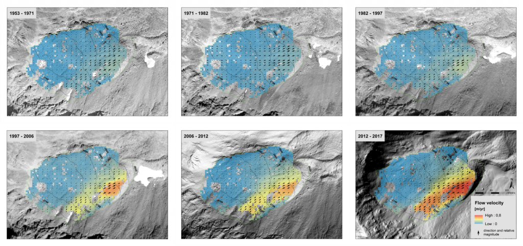
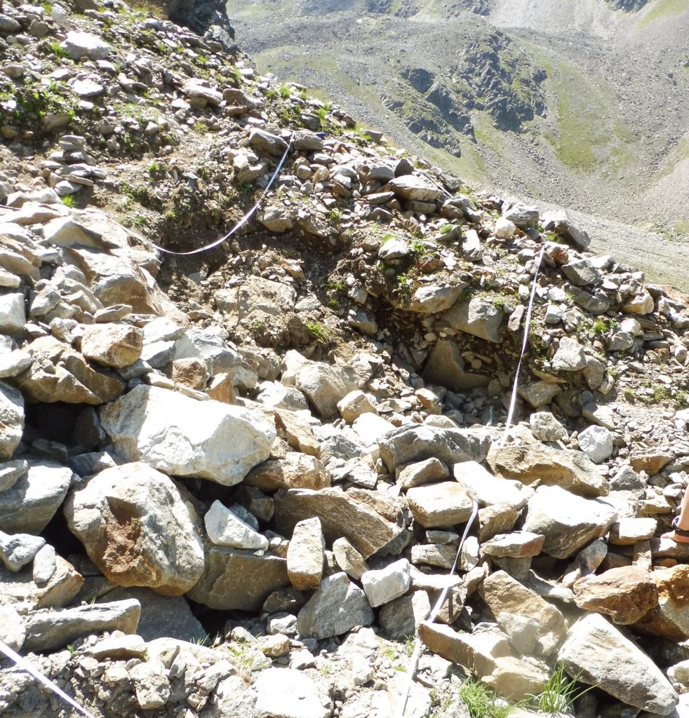
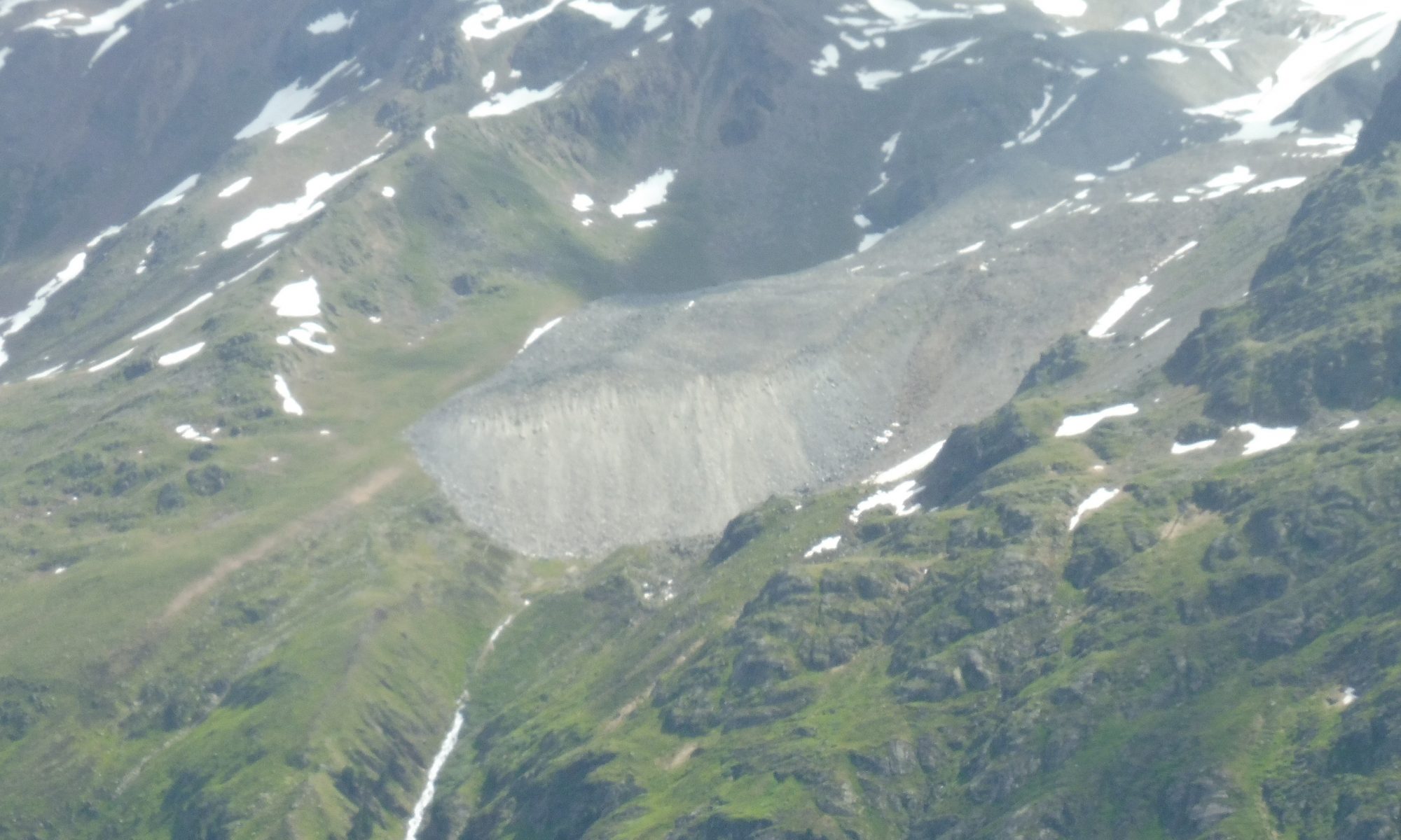
Not only glaciers are melting as a result of climate change, but also rock glaciers, a downslope moving mixture of debris and ice, are changing. Therefore, the change in flow velocities for selected rock glaciers in the Kauner Valley was determined back to 1953. Although the maximum measured flow velocities on the investigated rock glaciers are only about 1.5 m per year, an increase in flow velocities could be observed, especially since 1997. The volume change of the rock glaciers was also determined. This shows that they have lost volume during the study period. In addition to a possible compression of the marterial, this is mainly due to the melting of the contained ice. The acceleration and volume loss of the rock glaciers can be linked to changes in climate parameters (snow, precipitation and temperature). More detailed information on this study can be found in an article published as a preprint in the journal „The Cryosphere Discuss“ (link).
Figure 1: Rock glacier with maps of flow velocities (blue – low, red – high) in metres per year. This clearly shows the increase in velocities from the period 1997 – 2006 onward.
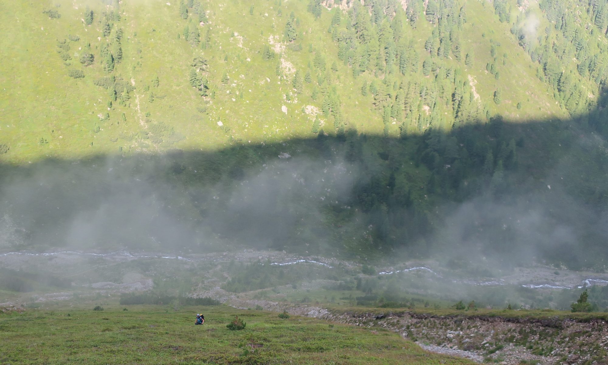
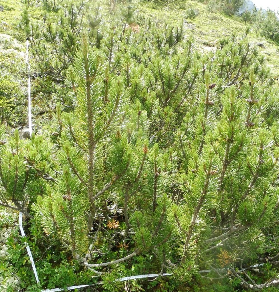
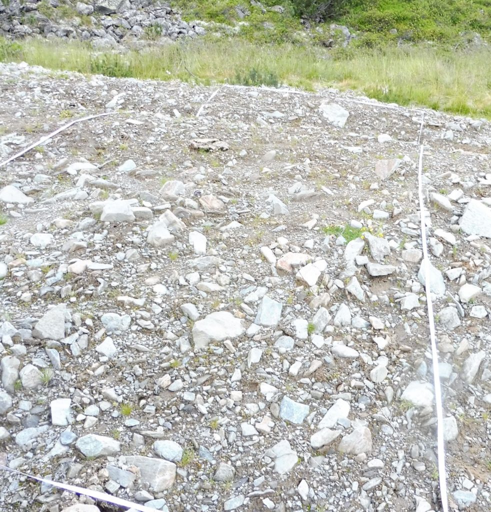
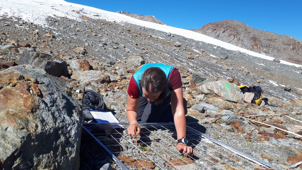
In outer and inner Grastal (Horlach Valley, Tyrol), vegetation analyses were carried out in summer 2020 on undisturbed and by debris flows (different years) disturbed plots in the starting and accumulation zone. Debris flows were mapped by Jakob Rom.
A)
B)
Fig. 1: A) undisturbed and B) disturbed plot at the accumulation zone outer Grastal. Photos: Katharina Ramskogler.
A)
B)
Fig. 2: A) undisturbed and B) disturbed plot at the accumulation zone inner Grastal. Photos: Katharina Ramskogler.
A)
B)
Fig. 3: A) undisturbed and B) disturbed plot at the starting zone outer Grastal. Photos: Katharina Ramskogler.
A)
B)
Fig. 4: A) undisturbed and B) disturbed plot at the starting zone inner Grastal. Photos: Katharina Ramskogler.
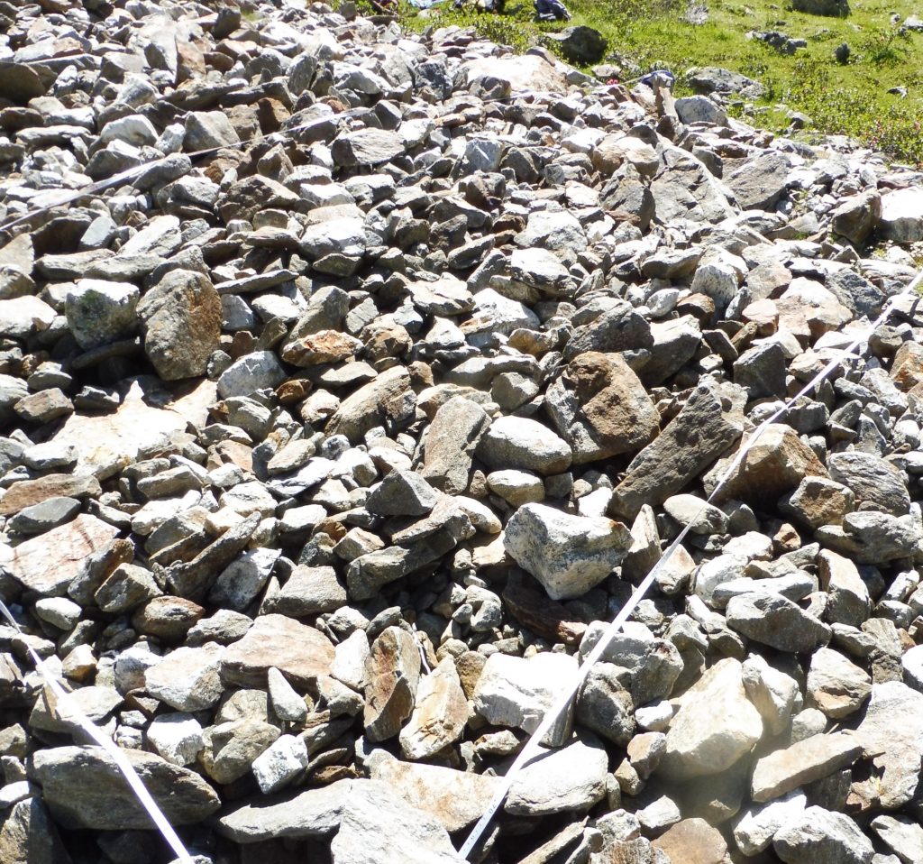
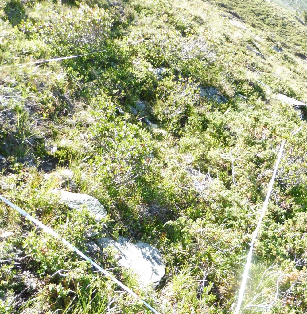
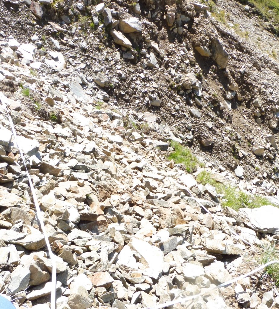
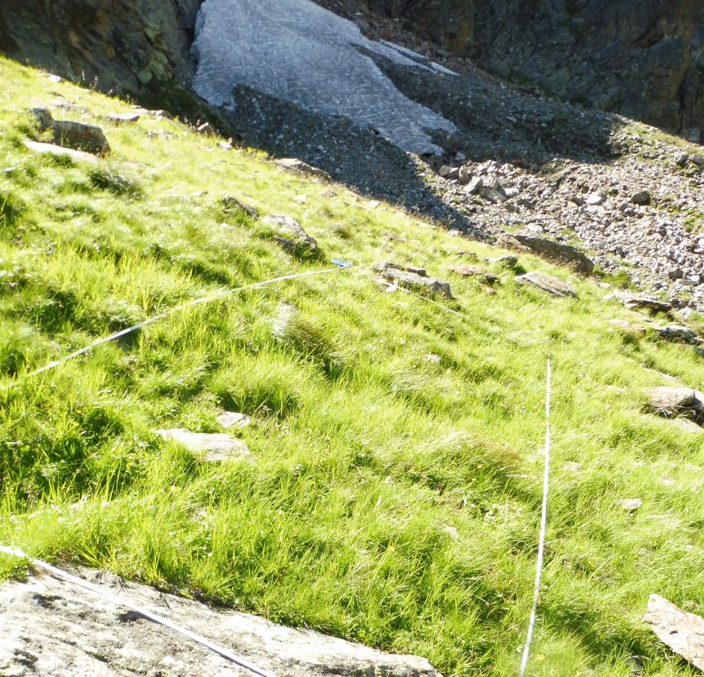
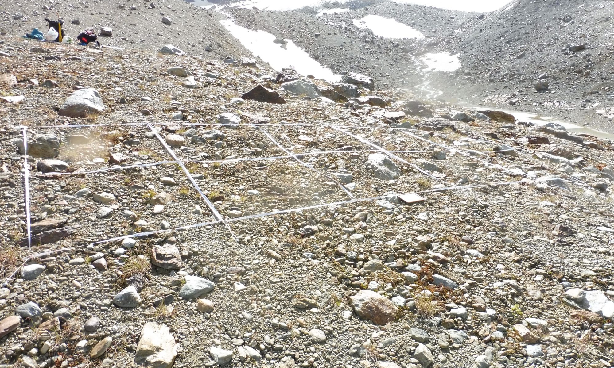
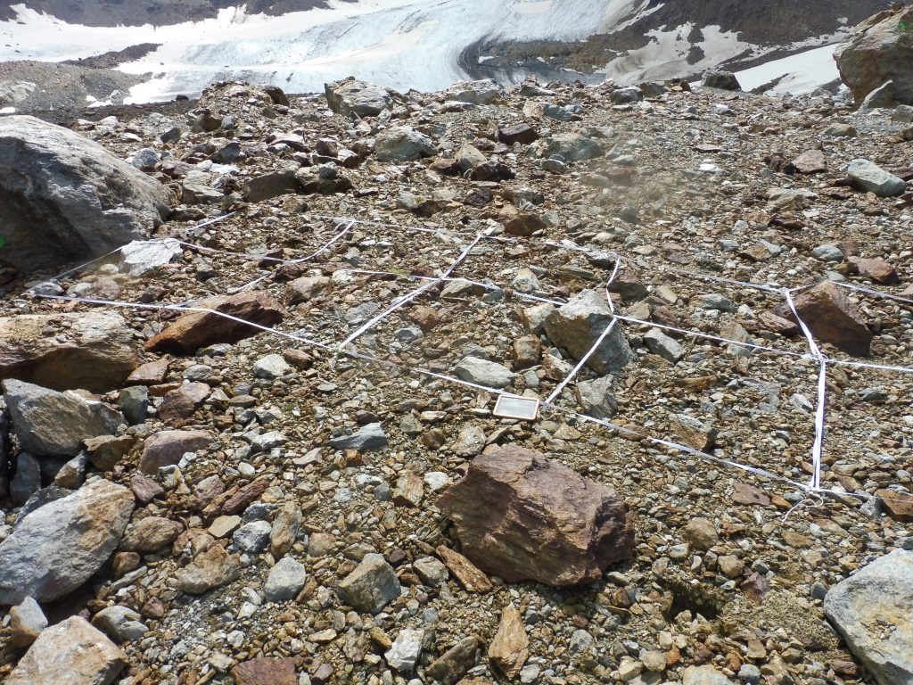
In Kauner Valley, close to the area of the rock glacier Innere Ölgrube, vegetation analyses were carried out in summer 2020 from the treeline (2135 m a.s.l.) to the subnival belt (2730 m a.s.l.). Disturbed and undisturbed plots were compared. Temperature and soil water potential measurements were performed at 10 cm soil depth.
Fig. 1: Area for vegetation analysis above the treeline (2245 m a.s.l.). Photo: Katharina Ramskogler.
A)
B)
Fig. 2: A) undisturbed and B) morphodynamically disturbed plot at the upper end of the transect Innere Ölgrube. Photos: Katharina Ramskogler.
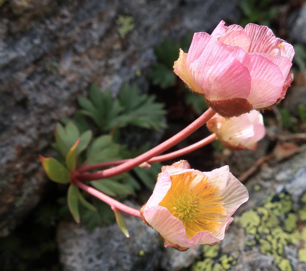
Fig. 3: Glacier buttercup (Ranunculus glacialis). Photo: Elias Nitz.
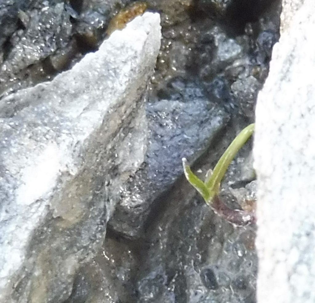
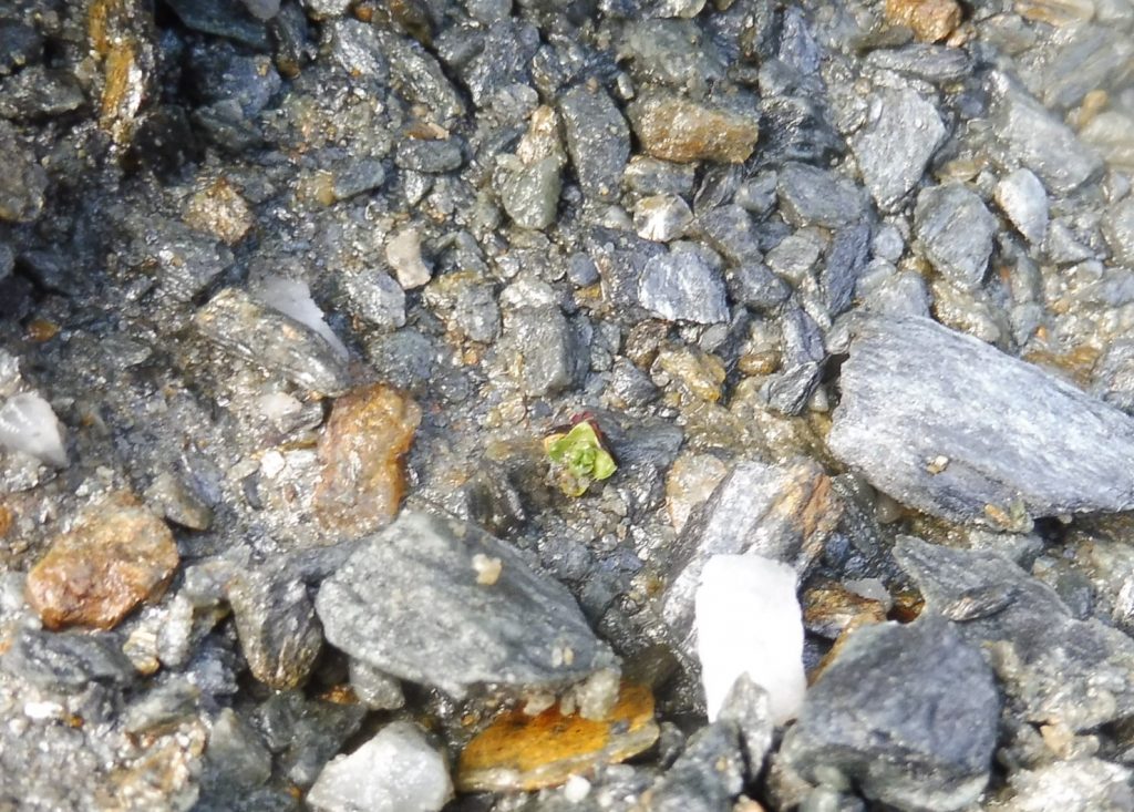
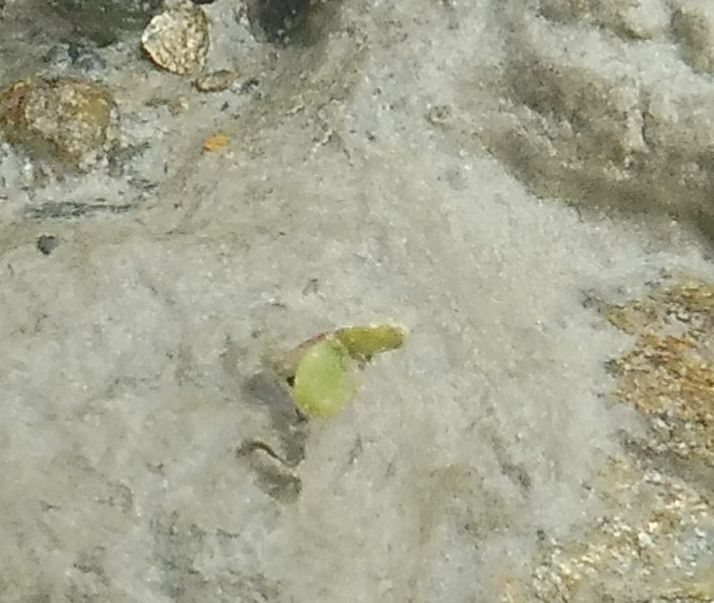
First impressions are often deceptive: recently ice-free areas are not hostile. As soon as the glacier has released new areas (Fig. 1), one can discover the first plants, such as the alpine blue grass (Poa alpina, Fig. 2) or the purple mountain saxifrage (Saxifraga oppositifolia, Fig. 3), and the yellow mountain saxifrage (Saxifraga aizoides, Fig. 4).
Fig. 1: Area ice-free for one year. Photo: Katharina Ramskogler.Fig. 2: Alpine blue grass (Poa alpina). Photo: Katharina Ramskogler.Fig. 3: Purple mountain saxifrage (Saxifraga oppositifolia). Photo: Katharina Ramskogler.Fig. 4: Seedling of the yellow mountain saxifrage (Saxifraga aizoides). Photo: Katharina Ramskogler.
Katharina Ramskogler from the Department of Botany, University of Innsbruck, investigated plant colonisation at the Zufallferner glacier foreland (Martell Valley). Within 5 x 2 m plots, each plant species was counted and the cover was estimated. Soil temperature and soil water potential were measured at each plot.
Sample plot of 5 x 2 m at the glacier foreland. Photo: Katharina Ramskogler.
By means of a frequency frame of 1 x 1 m, each plant species was counted and the cover was estimated. Photo: Svenja Müller.
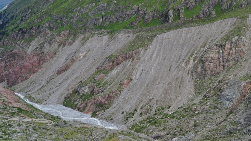
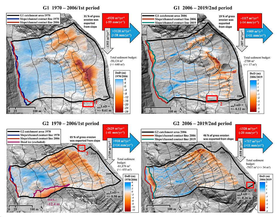
Our figure (see below) depicts morphodynamics of almost 50 years (between 1970 and 2006, and between 2006 and 2019, respectively) of two lateral moraine sections at Gepatschferner, Kauner valley, Austria.
Photogrammetric methods, airborne and terrestrial laserscanning were used to generate digital elevation models representing the surfaces in 1970, 2006 and 2019, respectively. Subtraction of two elevation models representing the surface elevation at two points in time yields a ‚DEM of difference‘ (DoD). Each pixel of the DoD shows the net surface change (e.g. negative change=>erosion, positive change=>deposition) that occurred in the period between the surveys. We interpret the spatial pattern of positive and negative surface changes (on a red-white-blue colour ramp) in terms of processes that shaped the surface during this period. Moreover, we can compute the volume of sediment that was removed (erosion) or deposited at certain sections of the hillslope.
A comparison of the first (1970-2006) and the second (2006-2019) period shows that the respective volumes of erosion, deposition and sediment delivery to the adjacent river have decreased. These findings have been published in the scientific journal Water – you can access the original paper here: https://www.mdpi.com/2073-4441/12/12/3375.
DEMs of difference (DoD) of two test sites in the corresponding periods with the determined morphological sediment budgets, mean annual erosion volume (red), mean annual deposition volume (blue), and the mean annual resulting net balance (grey) (m3). The DoD of the first period are projected on the Hillshade of 1970/1971 and the DoD of the second period on the Hillshade of 2006 (accordingly also the contour lines), each with a 40% transparency. The uncertainty of the total net balance and the minimum Level of Detection (min LoD) is based on the four stable areas (red rectangles) at or near the test sites.