Aufnahme des Gepatschferners (unbekannter Photograph, ca. 1920). Quelle: Martin Frey

Historical and recent photographs show the changes

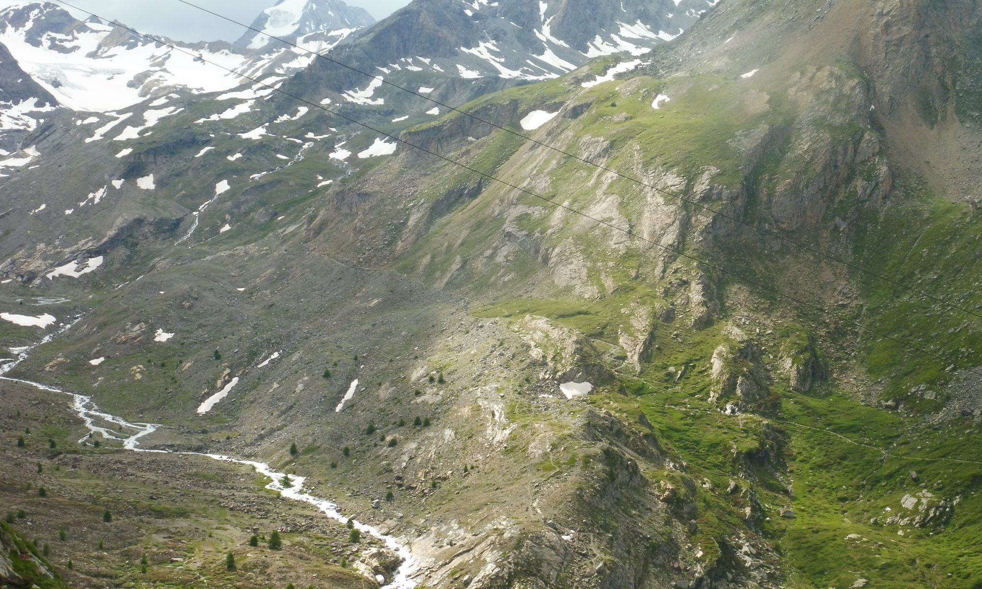
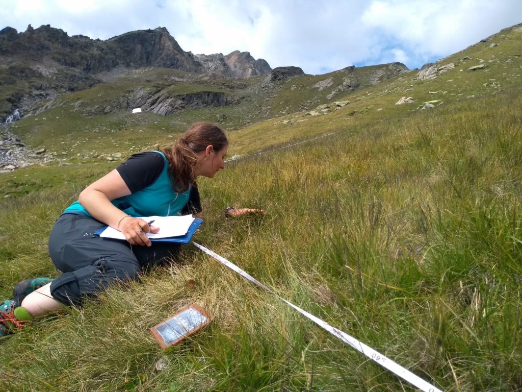
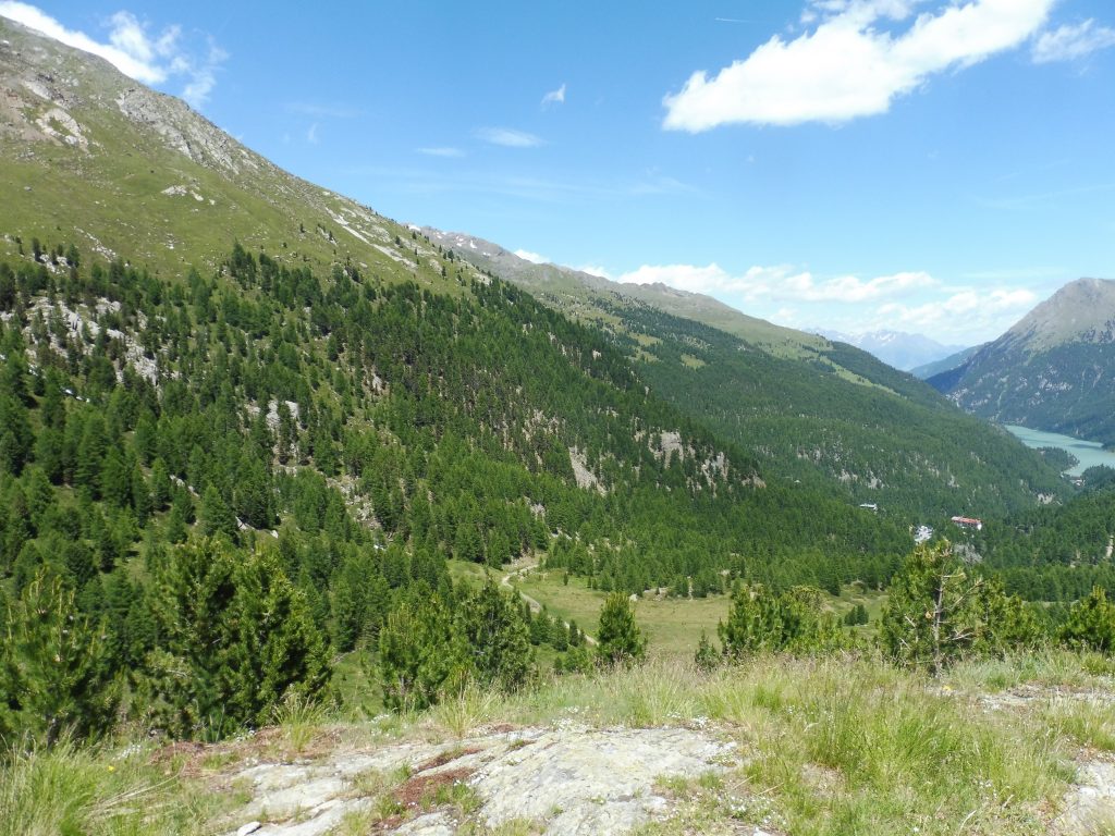
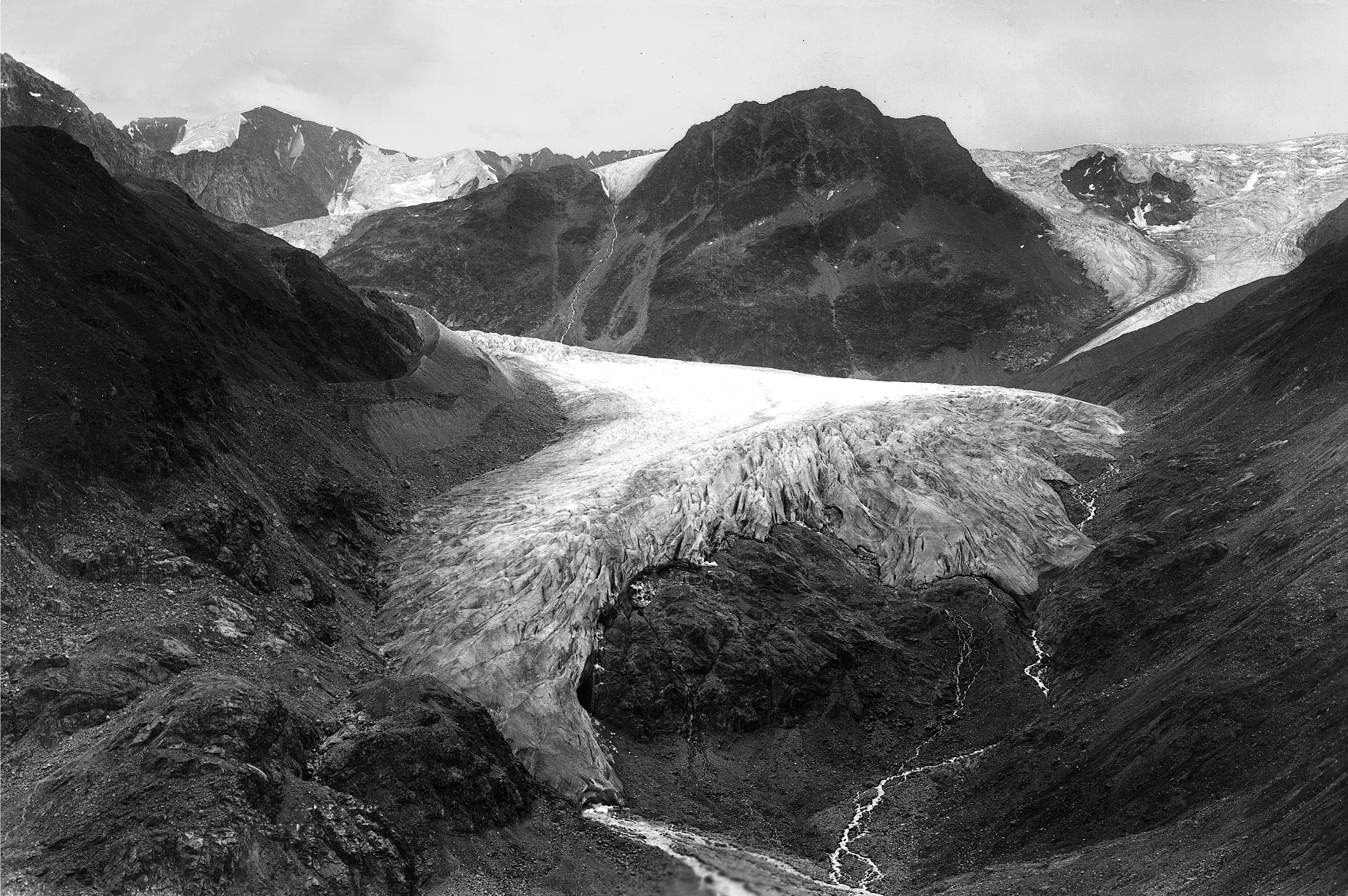
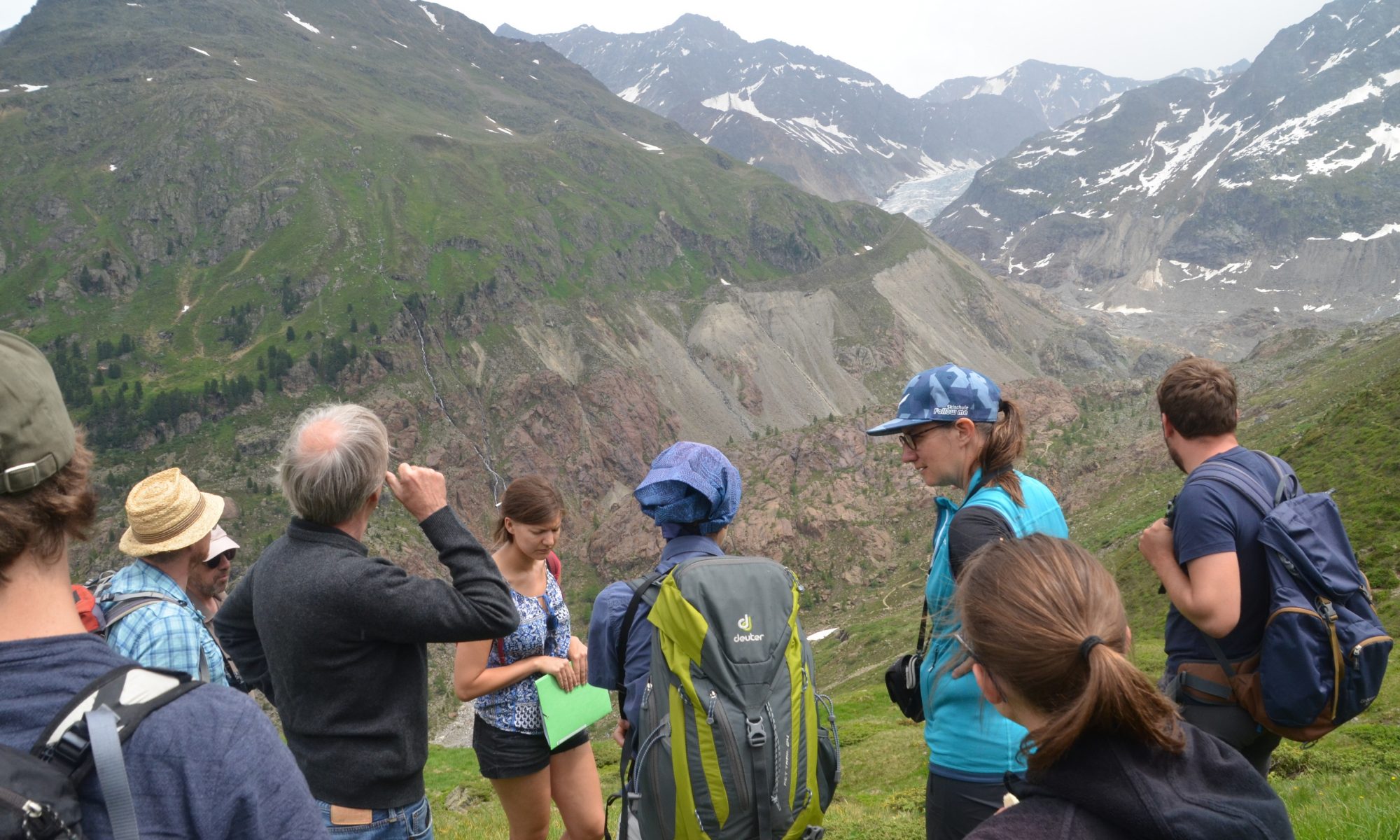
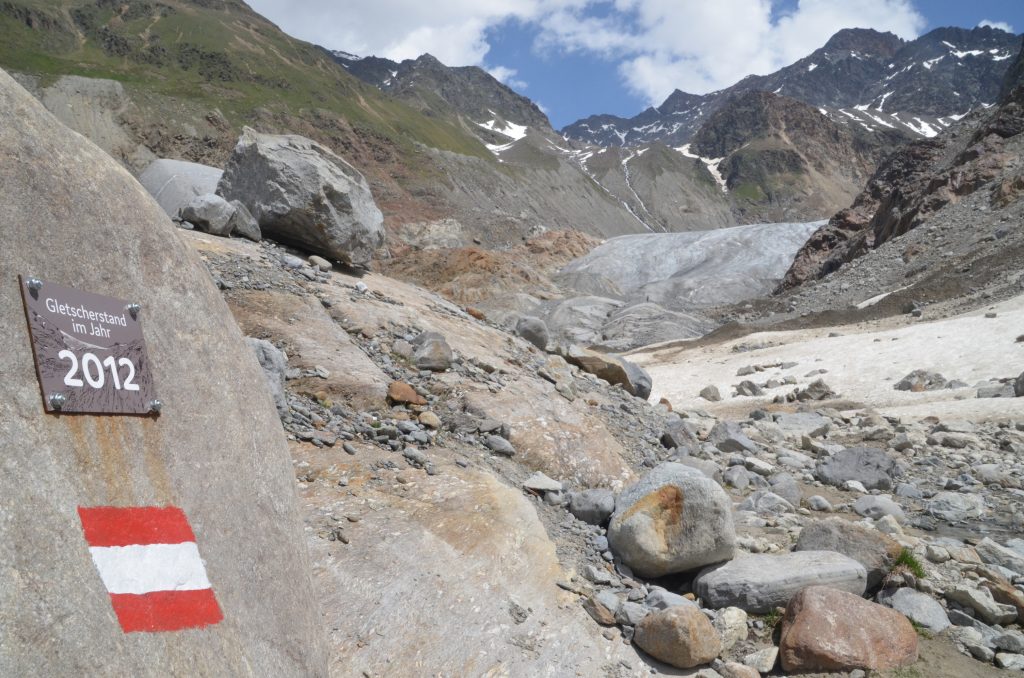
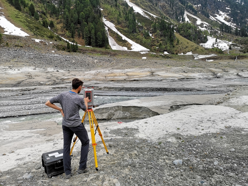
Historical photogrpahs allow a journey into the past that can provide valuable insights for working on the project’s goals. The first step in analyzing a scanned photograph is orientation; with the help of a digital terrain model, the photographer’s location and line of sight are determined (click here to find out more). Our researcher visit these locations to document the current state of the landscape in order to compare it optimally with the respective historical photograph. The results are impressive…

The following image comparison shows a historical image of the Gepatschferner in Kauertal taken around 1920 (source: M. Frey); Moritz Altmann took a image for comparison in 2019 from the calculated position of the photographer at that time:

[twenty20 img1=“388″ img2=“387″ direction=“vertical“ offset=“0.5″ align=“none“ width=“100%“ before=“Kaunertal: Gepatschferner / Fernergrieß ca. 1920 (Quelle: M. Frey)“ after=“Kaunertal: Gepatschferner / Fernergrieß 2019 (Quelle: M. Altmann)“ hover=“true“]

Additional information: In the same way a Canadian research project documents the transformation of mountain landscapes in the Rocky Mountains: click here!

Helicopter survey in Horlachtal and Martelltal successful

Florian Haas and a team from KU Eichstätt-Ingolstadt successfully conducted a survey of the Horlachtal and Martelltal study areas with our mobile laser scanner mounted at the front of a rented helicopter on August 8/9. The recorded data – photos and hundreds of millions of measuerd points – are now being processed in Eichstätt and at the TU Wien and will probably be available for analysis by the SEHAG project working groups later this year.

The used helicopter with the mounted helicopter takes of in Horlachtal. (Video: M. Altmann 2019)
The helicopter above of the melting glaciers in Martelltal. (Photo: M. Altmann 2019)

Drone flight Kaunertal (video)

Join a SEHAG team from Eichstätt on their way through the Kaunertal. The target was a lateral moraine, from which a UAV flight was started. The images are used to create orthophotos (for mapping the river channels, for example) and digital elevation models (for measuring changes since the last survey). Manuel Stark and Livia Piermattei carried out the UAV survey together. They produced this video for us:

First joint meeting in Kaunertal

From 1-3 July 2019, a meeting of all SEHAG working groups took place in Kaunertal. Together, test plots were determined on site, where different groups will explore the interactions of various processes. Measuring equipment such as discharge gauges and a weather station were also installed, which are of great importance for the work during the project period. The evenings were used to get to know the project participants and to coordinate the upcoming field season.

This picture illustrates the massive melting of the Gepatschferner in recent years. Near the place where this photo was taken at the beginning of July 2019, laser scans were aqcuired for the PROSA project in 2012 – ON the glacier…

Surveying the lake delta of the Kaunertal reservoir

Every year in spring, the lake level of the Kaunertal reservoir is lowered to provide space for the meltwater. This allows a view of the bottom of the lake, especially where the Fagge river enters; this is where the river’s sediment load is deposited, which it transports from the glaciers, slopes and tributary streams of the catchment area. The emerging delta was surveyed again in June 2019 – in continuation of existing data series – with the help of a laser scanner, which can measure a very large number of points in a short time. Compared to previous surveys and especially to the topography before the dam was built, the sediment volume that has been delivered from the catchment since then can be quantified.

Sediment deposits in the area where the Fagge river enters the Kaunertal reservoir when the lake level is lowered in June 2019. (Photo: M. Altmann)

Avalanche mapping using drones

Avalanches are a common phenomenon in high alpine areas; apart from the threat to people and infrastructure, they have an impact on the water balance, vegetation and sediment transport. Within the framework of SEHAG, snow deposits from avalanches are measured in order to map their range and deposition area and to determine possible sediment transport. In Kaunertal, data series from earlier projects have now been continued: a group from KU Eichstätt used an aerial drone to photograph avalanche deposits. The processed photos are used to create so-called orthophotos, which can be used to survey the deposits.