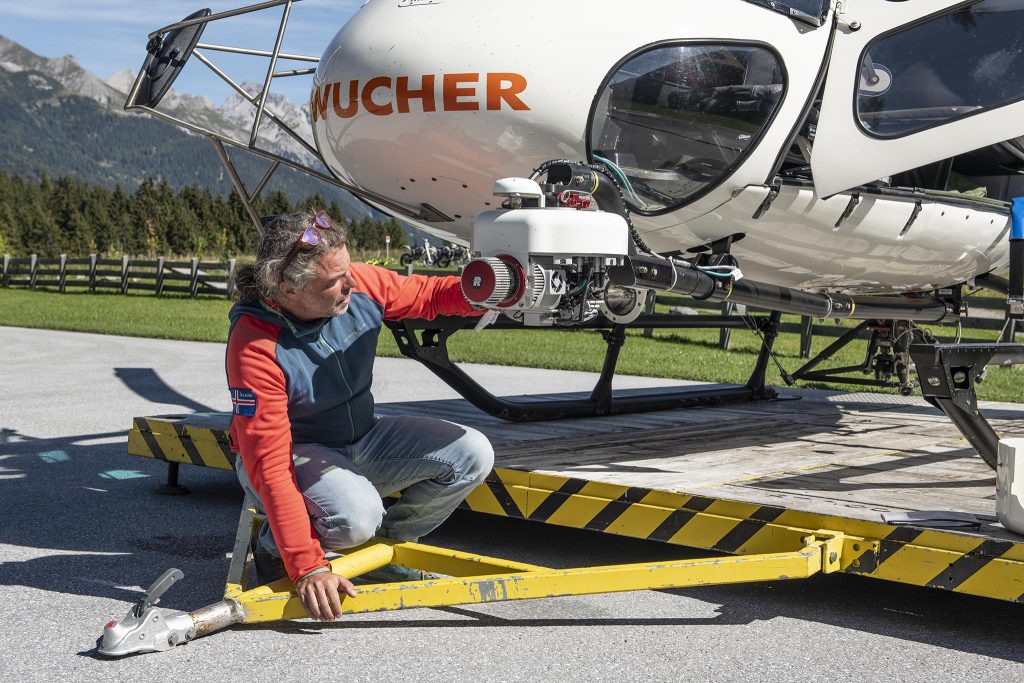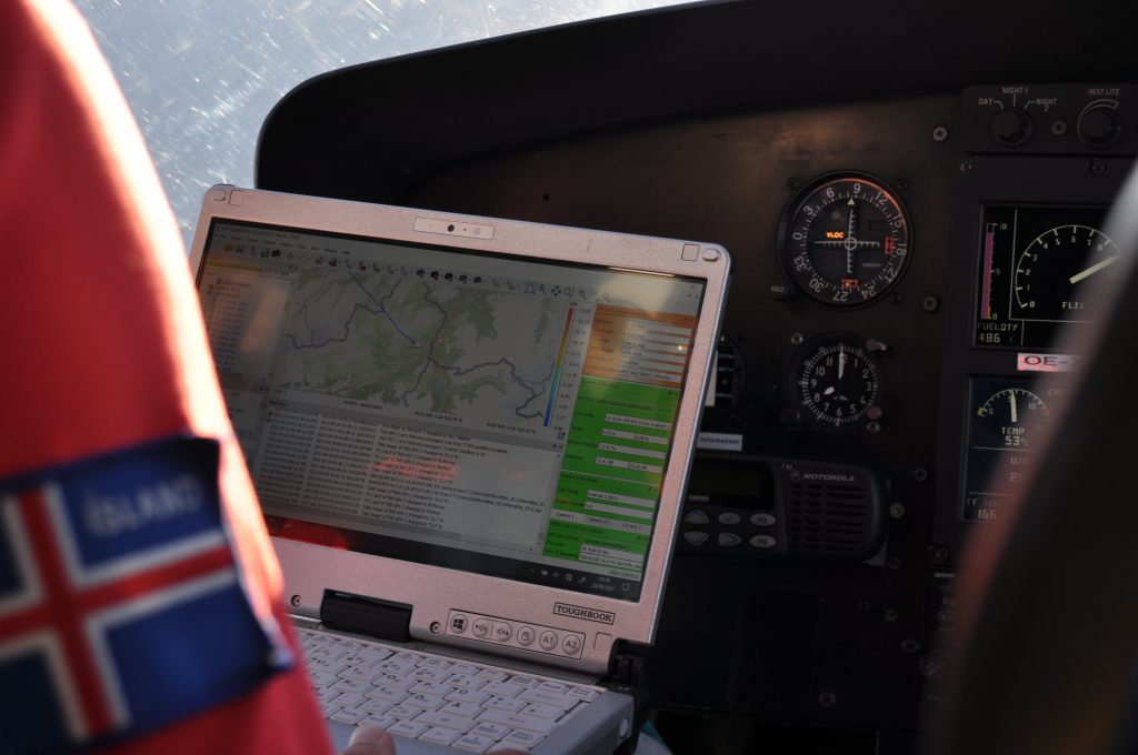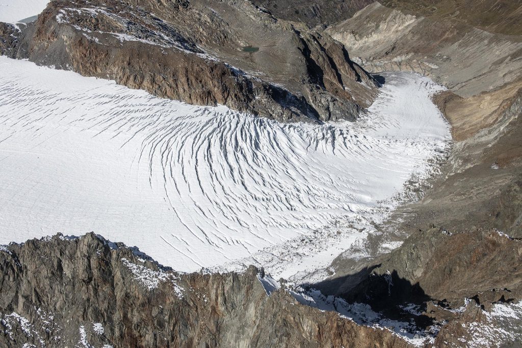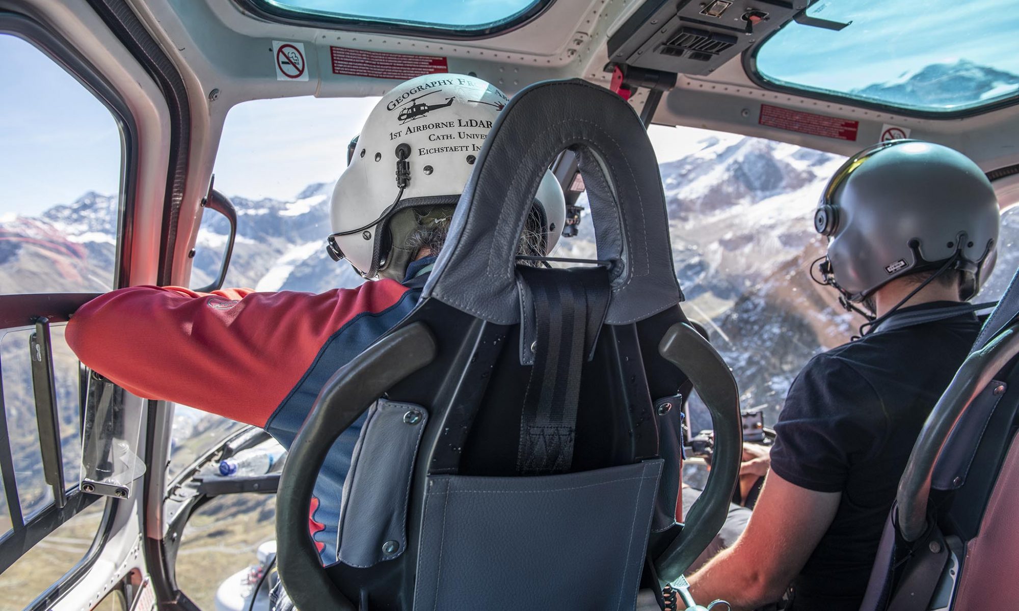
Airborne Laser Scanning (ALS) is a method of scanning the earth’s surface from the air with a laser beam while recording the reflected signal. From this point cloud, the earth’s surface can be displayed in 3D with a very high degree of accuracy. Using this data, researchers in SEHAG can detect changes in the landscape by comparing these models with older ones. This could be the melting of glaciers, debris flows or vegetation growth. From 22.09.2021 to 24.9.2021, all three valleys of the SEHAG project were flown and recorded. The flight duration amounted to approx. 6-7 hours per valley. The valleys were flown over systematically so that a good data set could be collected for the entire area.